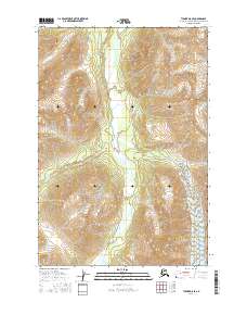
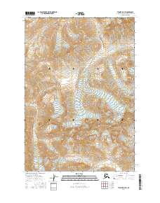
2016 Map of Tyonek D-8 SE
USGS Topo · Published 2016About this map
The Skwentna River carves a broad valley floor through this glacial landscape in the Matanuska-Susitna Borough, serving as the central drainage for several tributary systems. To the east, the Black and Tan Glacier and its associated runoff, Black and Tan Cr, define the high-relief topography, while the northern reaches are marked by the Muddy Cr and the Chickak River. The mapping of these waterways reveals a classic glacial-outwash pattern, where braided channels and alluvial deposits dominate the lowlands between steep ridgelines. While no permanent settlements appear, the map provides a precise look at the landforms and drainages including Emerald Cr as they existed in the early 21st century.
Find a feature on this map
14 named features on this map. Tap any name to fly to it.
Don’t see what you’re looking for? This feature index may not catch every label — zoom into the map to look around manually.
Map Details
Editions of this 2016 Tyonek D-8 SE Map
This is the sole edition of this map. No revisions or reprints were ever made.
Other maps of this area

1949 · Tyonek
USGS Topo · 1:250,000

1951 · Tyonek
USGS Topo · 1:250,000

1958 · Tyonek C-8
USGS Topo · 1:63,360

1958 · Tyonek D-8
USGS Topo · 1:63,360

1958 · Tyonek
USGS Topo · 1:250,000
1958 · Tyonek D-7
USGS Topo · 1:63,360
1958 · Tyonek C-7
USGS Topo · 1:63,360

1965 · Tyonek
USGS Topo · 1:250,000
2016 · Tyonek D-7 NW
USGS Topo · 1:25,000
2016 · Tyonek D-7 SW
USGS Topo · 1:25,000