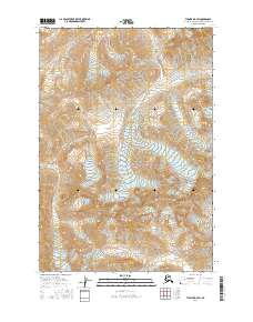
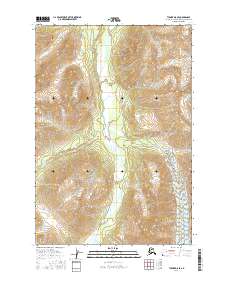
2016 Map of Tyonek D-7 SW
USGS Topo · Published 2016About this map
The Chickak River defines the northwestern reaches of this terrain in the Matanuska-Susitna borough, cutting through a landscape dominated by dramatic elevation changes. This 2016 survey provides a high-resolution view of the public land survey system divisions across Township 21 North, Range 18 West and its neighboring sections. Tributaries such as Spring Cr flow through the eastern valleys, illustrating the complex drainage patterns of this Alaskan interior. The map is primarily a study of topography and hydrology, capturing the transition of water from high peaks into the larger river systems before any significant modern road infrastructure or settlement reached this specific quadrangle.
Find a feature on this map
6 named features on this map. Tap any name to fly to it.
Don’t see what you’re looking for? This feature index may not catch every label — zoom into the map to look around manually.
Map Details
Editions of this 2016 Tyonek D-7 SW Map
This is the sole edition of this map. No revisions or reprints were ever made.
Other maps of this area

1949 · Tyonek
USGS Topo · 1:250,000

1951 · Tyonek
USGS Topo · 1:250,000

1958 · Tyonek C-8
USGS Topo · 1:63,360

1958 · Tyonek D-8
USGS Topo · 1:63,360

1958 · Tyonek
USGS Topo · 1:250,000
1958 · Tyonek D-7
USGS Topo · 1:63,360
1958 · Tyonek C-7
USGS Topo · 1:63,360

1965 · Tyonek
USGS Topo · 1:250,000
2016 · Tyonek D-7 NW
USGS Topo · 1:25,000
2016 · Tyonek D-8 SE
USGS Topo · 1:25,000