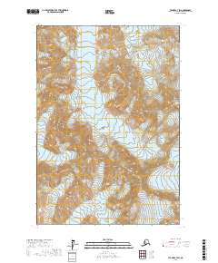
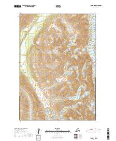
2017 Map of Tyonek C-7 SW
USGS Topo · Published 2017About this map
The Tordrillo Mountains dominate this high-elevation landscape, where the massive Hayes Volcano rises above an extensive network of ice and rock. The area is defined by its dramatic glacial activity, with the Hayes Glacier flowing from the north while the Triumvirate Glacier and Trimble Glacier carve through the eastern slopes. Near the center of the sheet, the N Twin Glacier adds to the complex drainage pattern characteristic of this portion of the Matanuska-Susitna Borough. At elevations reaching the heights of Mt Gerdine, the terrain shows the raw geological forces of the Alaska Range, where volcanic peaks and moving ice sheets intersect far from any established road networks or settlements.
Find a feature on this map
11 named features on this map. Tap any name to fly to it.
Don’t see what you’re looking for? This feature index may not catch every label — zoom into the map to look around manually.
Map Details
Editions of this 2017 Tyonek C-7 SW Map
This is the sole edition of this map. No revisions or reprints were ever made.
Other maps of this area

1949 · Tyonek
USGS Topo · 1:250,000

1951 · Tyonek
USGS Topo · 1:250,000

1958 · Tyonek B-8
USGS Topo · 1:63,360

1958 · Tyonek C-8
USGS Topo · 1:63,360

1958 · Tyonek
USGS Topo · 1:250,000
1958 · Tyonek B-7
USGS Topo · 1:63,360
1958 · Tyonek C-7
USGS Topo · 1:63,360

1965 · Tyonek
USGS Topo · 1:250,000
2017 · Tyonek B-7 NE
USGS Topo · 1:25,000
2017 · Tyonek C-8 NE
USGS Topo · 1:25,000