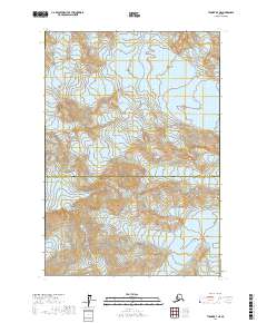
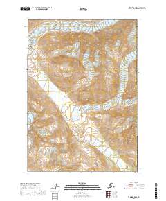
2017 Map of Tyonek B-7 NE
USGS Topo · Published 2017About this map
The high peaks of the Tordrillo Mountains dominate this 2017 survey, where massive ice fields and steep rock faces define the landscape. The geography is centered on Mt Torbert and Mt Nagishlamina, serving as the drainage heads for several significant glaciers. The intricate contour lines reveal the glacial movement from the Triumvirate Glacier in the north to the Capps Glacier in the southeast.
Find a feature on this map
14 named features on this map. Tap any name to fly to it.
Don’t see what you’re looking for? This feature index may not catch every label — zoom into the map to look around manually.
Map Details
Editions of this 2017 Tyonek B-7 NE Map
This is the sole edition of this map. No revisions or reprints were ever made.
Other maps of this area

1949 · Tyonek
USGS Topo · 1:250,000

1951 · Tyonek
USGS Topo · 1:250,000

1958 · Tyonek C-6
USGS Topo · 1:63,360

1958 · Tyonek B-6
USGS Topo · 1:63,360

1958 · Tyonek
USGS Topo · 1:250,000
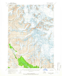
1958 · Tyonek B-7
USGS Topo · 1:63,360
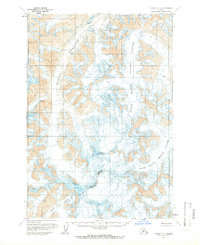
1958 · Tyonek C-7
USGS Topo · 1:63,360

1965 · Tyonek
USGS Topo · 1:250,000
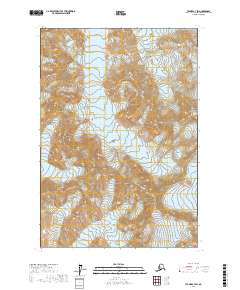
2017 · Tyonek C-7 SW
USGS Topo · 1:25,000
2017 · Tyonek B-7 SW
USGS Topo · 1:25,000