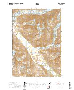
2017 Map of Tyonek B-7 SW
USGS Topo · Published 2017About this map
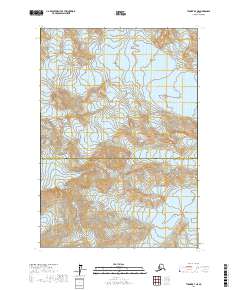
Glacial ice and glacial runoff dominate this portion of the Kenai Peninsula, where the Harpoon Glacier and Pothole Glacier define the high elevations of the landscape. The terrain is marked by the complex drainage systems that feed into the Nagishlamina River, which winds southwards through the quadrangle. The lack of roads or established settlements emphasizes the raw environmental character of this region, which remains primarily defined by its hydrological and cryospheric features. For researchers of Alaskan geography, the map provides a clear record of these water bodies and ice fields as they existed in the early 21st century, showing the physical relationship between the permanent ice and the river systems that drain the high country.
Find a feature on this map
9 named features on this map. Tap any name to fly to it.
Don’t see what you’re looking for? This feature index may not catch every label — zoom into the map to look around manually.
Map Details
Editions of this 2017 Tyonek B-7 SW Map
This is the sole edition of this map. No revisions or reprints were ever made.
Other maps of this area

1949 · Tyonek
USGS Topo · 1:250,000

1951 · Tyonek
USGS Topo · 1:250,000

1958 · Tyonek B-8
USGS Topo · 1:63,360

1958 · Tyonek
USGS Topo · 1:250,000

1958 · Tyonek A-8
USGS Topo · 1:63,360
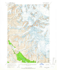
1958 · Tyonek B-7
USGS Topo · 1:63,360
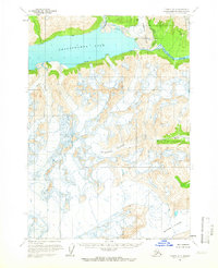
1958 · Tyonek A-7
USGS Topo · 1:63,360

1965 · Tyonek
USGS Topo · 1:250,000
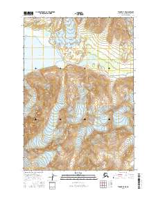
2016 · Tyonek A-7 NE
USGS Topo · 1:25,000
2017 · Tyonek B-7 NE
USGS Topo · 1:25,000