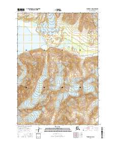
2016 Map of Tyonek A-7 NE
USGS Topo · Published 2016About this map
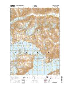
Ch'akajabena Lake dominates the northwestern portion of this Alaskan landscape, serving as the source for the eastward-flowing Chakachatna River. The terrain is defined by massive glacial features, specifically the Barrier Glacier in the north-central area and Crater Glacier in the northeast corner. South of the lake, the prominent peak of Ch'akajabena Mtn rises above the river valley. This map provides a detailed view of the natural hydrology and topographical extremes found within the Kenai Peninsula Borough, illustrating the relationship between high-altitude ice fields and the drainages they feed. The lack of man-made infrastructure on the sheet highlights the wilderness character of the region during this mid-2010s survey.
Find a feature on this map
9 named features on this map. Tap any name to fly to it.
Don’t see what you’re looking for? This feature index may not catch every label — zoom into the map to look around manually.
Map Details
Editions of this 2016 Tyonek A-7 NE Map
This is the sole edition of this map. No revisions or reprints were ever made.
Other maps of this area

1949 · Tyonek
USGS Topo · 1:250,000

1951 · Tyonek
USGS Topo · 1:250,000

1958 · Tyonek A-6
USGS Topo · 1:63,360

1958 · Tyonek B-6
USGS Topo · 1:63,360

1958 · Tyonek
USGS Topo · 1:250,000
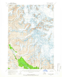
1958 · Tyonek B-7
USGS Topo · 1:63,360
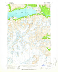
1958 · Tyonek A-7
USGS Topo · 1:63,360
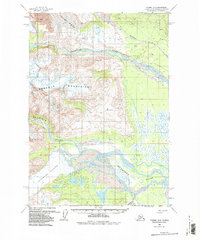
1959 · Tyonek A-6
USGS Topo · 1:63,360

1965 · Tyonek
USGS Topo · 1:250,000
2016 · Tyonek A-7 SE
USGS Topo · 1:25,000