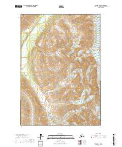
2017 Map of Tyonek C-8 NE
USGS Topo · Published 2017About this map
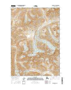
Skwentna River winds through the northwestern corner of this high-elevation terrain in the Matanuska-Susitna Borough, where steep topographic contours define a landscape dominated by ice and glacial movement. The southeastern portion of the quadrangle is anchored by the massive Hayes Glacier, illustrating the complex glacial drainage patterns that feed the region's river systems. In this unpopulated stretch of the Alaska interior, the map primarily serves as a record of natural transition and hydrological flow. The sheer density of contour lines across the township boundaries of t19n r20w and t18n r19w highlights the significant elevation changes that separate the glacial ice from the river valley below, marking the raw intersection of periglacial processes.
Find a feature on this map
7 named features on this map. Tap any name to fly to it.
Don’t see what you’re looking for? This feature index may not catch every label — zoom into the map to look around manually.
Map Details
Editions of this 2017 Tyonek C-8 NE Map
This is the sole edition of this map. No revisions or reprints were ever made.
Other maps of this area

1949 · Tyonek
USGS Topo · 1:250,000

1951 · Tyonek
USGS Topo · 1:250,000

1958 · Tyonek C-8
USGS Topo · 1:63,360

1958 · Tyonek D-8
USGS Topo · 1:63,360

1958 · Tyonek
USGS Topo · 1:250,000
1958 · Tyonek D-7
USGS Topo · 1:63,360
1958 · Tyonek C-7
USGS Topo · 1:63,360

1965 · Tyonek
USGS Topo · 1:250,000
2016 · Tyonek D-8 SE
USGS Topo · 1:25,000
2016 · Tyonek D-7 SW
USGS Topo · 1:25,000