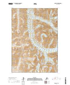
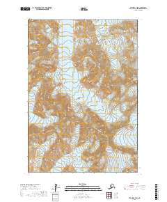
2017 Map of Tyonek C-8 SE
USGS Topo · Published 2017About this map
Hayes Glacier and N Twin Glacier anchor the corners of this 2017 study within the Matanuska-Susitna Borough. This high-altitude landscape is defined by its dramatic vertical relief and the presence of these permanent ice masses. The terrain is mapped across several townships, including t18n r19w and t17n r19w, revealing the intricate drainage patterns and steep contours typical of the Alaska Range. The absence of roads or structures emphasizes the isolation of this mountain environment, where glacial movement continues to shape the underlying geology.
Find a feature on this map
8 named features on this map. Tap any name to fly to it.
Don’t see what you’re looking for? This feature index may not catch every label — zoom into the map to look around manually.
Map Details
Editions of this 2017 Tyonek C-8 SE Map
This is the sole edition of this map. No revisions or reprints were ever made.
Other maps of this area

1949 · Tyonek
USGS Topo · 1:250,000

1951 · Tyonek
USGS Topo · 1:250,000

1958 · Tyonek B-8
USGS Topo · 1:63,360

1958 · Tyonek C-8
USGS Topo · 1:63,360

1958 · Tyonek
USGS Topo · 1:250,000
1958 · Tyonek B-7
USGS Topo · 1:63,360
1958 · Tyonek C-7
USGS Topo · 1:63,360

1965 · Tyonek
USGS Topo · 1:250,000
2017 · Tyonek C-8 NE
USGS Topo · 1:25,000
2017 · Tyonek C-7 SW
USGS Topo · 1:25,000