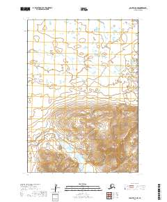
2019 Map of Ugashik A-5 NW
USGS Topo · Published 2019About this map
Alaska Peninsula terrain dominates this 2019 survey, illustrating the complex drainage patterns and relief of the region. The map captures the course of Old Creek as it winds through the southern portion of the quadrangle, which is defined by significant elevation changes. This particular area of the peninsula is characterized by a lack of established settlements or road infrastructure, highlighting a landscape defined by its hydrology and natural landforms. The Public Land Survey System grid overlays this environment, with sections of t34s r52w and t35s r52w marking the administrative divisions of these remote lands. Researchers will find a clear representation of the seasonal water bodies and marshes that influence the geography of the Lake and Peninsula Borough.
Find a feature on this map
6 named features on this map. Tap any name to fly to it.
Don’t see what you’re looking for? This feature index may not catch every label — zoom into the map to look around manually.
Map Details
Editions of this 2019 Ugashik A-5 NW Map
This is the sole edition of this map. No revisions or reprints were ever made.
Other maps of this area

1943 · Ugashik
USGS Topo · 1:250,000

1948 · Ugashik
USGS Topo · 1:250,000

1949 · Ugashik
USGS Topo · 1:250,000

1954 · Ugashik B-5
USGS Topo · 1:63,360

1963 · Ugashik B-6
USGS Topo · 1:63,360

1963 · Ugashik A-6
USGS Topo · 1:63,360
1963 · Ugashik A-5
USGS Topo · 1:63,360

1963 · Ugashik
USGS Topo · 1:250,000
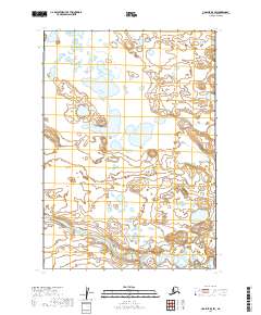
2019 · Ugashik B-5 SW
USGS Topo · 1:25,000
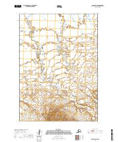
2019 · Ugashik A-6 NE
USGS Topo · 1:25,000