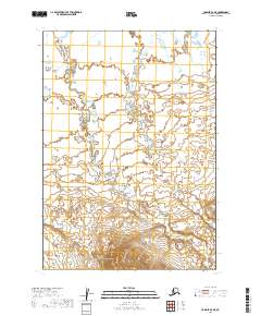
2019 Map of Ugashik A-6 NE
USGS Topo · Published 2019About this map
Pumice Creek winds through this undeveloped portion of the Alaska Peninsula, where the landscape is defined by extensive wetlands and meandering watercourses. This 2019 survey documents the intricate drainage patterns of the Pumice Cr and Old Cr systems before they reach the larger coastal flats. The absence of roads or permanent settlements highlights the wilderness character of the Lake and Peninsula Borough, where land management is divided across townships including t34s r53w and t35s r52w. For researchers, the map provides a precise baseline of hydrographic changes and elevation in a region where the shifting paths of these creeks are the primary landmarks across the tundra.
Find a feature on this map
7 named features on this map. Tap any name to fly to it.
Don’t see what you’re looking for? This feature index may not catch every label — zoom into the map to look around manually.
Map Details
Editions of this 2019 Ugashik A-6 NE Map
This is the sole edition of this map. No revisions or reprints were ever made.
Other maps of this area

1943 · Ugashik
USGS Topo · 1:250,000

1948 · Ugashik
USGS Topo · 1:250,000

1949 · Ugashik
USGS Topo · 1:250,000

1954 · Ugashik B-5
USGS Topo · 1:63,360

1963 · Ugashik B-6
USGS Topo · 1:63,360

1963 · Ugashik A-6
USGS Topo · 1:63,360
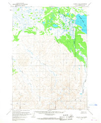
1963 · Ugashik A-5
USGS Topo · 1:63,360

1963 · Ugashik
USGS Topo · 1:250,000
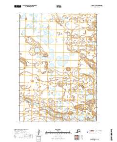
2019 · Ugashik B-5 SW
USGS Topo · 1:25,000
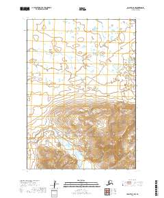
2019 · Ugashik A-5 NW
USGS Topo · 1:25,000