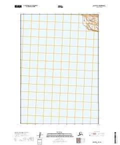
2019 Map of Ugashik D-1 NW
USGS Topo · Published 2019About this map
Becharof Lake dominates the central portion of this remote Bristol Bay drainage, its waters filling a glacial basin within the Lake and Peninsula Borough. The landscape is characterized by the expansive hydrography of the Alaska Peninsula, where the vastness of the water body contrasts with the surveyor's grid established by the U.S. Geological Survey. This specific quadrant is defined by its township boundaries, including t26s r43w and t26s r42w, which delineate the public land system in an area devoid of roads or permanent human settlements. The map serves as a primary record of the shoreline and elevation contours of the Alaska Peninsula National Wildlife Refuge region during the early twenty-first century.
Find a feature on this map
7 named features on this map. Tap any name to fly to it.
Don’t see what you’re looking for? This feature index may not catch every label — zoom into the map to look around manually.
Map Details
Editions of this 2019 Ugashik D-1 NW Map
This is the sole edition of this map. No revisions or reprints were ever made.
Other maps of this area

1943 · Ugashik
USGS Topo · 1:250,000

1948 · Ugashik
USGS Topo · 1:250,000

1949 · Ugashik
USGS Topo · 1:250,000

1951 · Ugashik D-1
USGS Topo · 1:63,360

1951 · Naknek A-2
USGS Topo · 1:63,360

1951 · Naknek A-1
USGS Topo · 1:63,360

1951 · Ugashik D-2
USGS Topo · 1:63,360

1952 · Naknek
USGS Topo · 1:250,000

1963 · Ugashik
USGS Topo · 1:250,000

1964 · Naknek
USGS Topo · 1:250,000