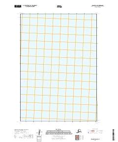
2019 Map of Ugashik D-2 NE
USGS Topo · Published 2019About this map
Becharof Lake dominates the central portion of this survey, representing a significant expanse of freshwater within the Alaska Peninsula’s landscape. The map highlights the systematic division of the territory through the Public Land Survey System, specifically detailing portions of t25s r44w, t25s r43w, t26s r44w, t26s r43w, t27s r44w, and t27s r43w. While largely devoid of named human settlements or infrastructure, this map serves as a vital record of the remote hydrologic and cadastral layout of the Lake and Peninsula Borough during the early 21st century.
Find a feature on this map
7 named features on this map. Tap any name to fly to it.
Don’t see what you’re looking for? This feature index may not catch every label — zoom into the map to look around manually.
Map Details
Editions of this 2019 Ugashik D-2 NE Map
This is the sole edition of this map. No revisions or reprints were ever made.
Other maps of this area

1943 · Ugashik
USGS Topo · 1:250,000

1948 · Ugashik
USGS Topo · 1:250,000

1949 · Ugashik
USGS Topo · 1:250,000

1951 · Ugashik D-1
USGS Topo · 1:63,360

1951 · Naknek A-2
USGS Topo · 1:63,360

1951 · Naknek A-1
USGS Topo · 1:63,360

1951 · Ugashik D-2
USGS Topo · 1:63,360

1952 · Naknek
USGS Topo · 1:250,000

1963 · Ugashik
USGS Topo · 1:250,000

1964 · Naknek
USGS Topo · 1:250,000