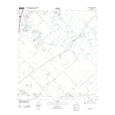
2013 Map of Uhland
USGS Topo · Published 2013About this map
Uhland and the surrounding rural landscape of Caldwell and Hays Counties are defined by a network of creeks and small-scale water management projects. The drainage of Plum Cr and its tributaries, including Clear Fork Plum Cr and Bunton Br, is dotted with numerous Soil Conservation Service reservoirs, reflecting the importance of flood control and agricultural water storage in this part of Texas. South of these waterways, the community of Maxwell sits near the crossing of several local roads, while Reedville occupies the southwestern corner near Hemphill Cr.
Find a feature on this map
155 named features on this map. Tap any name to fly to it.
Don’t see what you’re looking for? This feature index may not catch every label — zoom into the map to look around manually.
Map Details
Editions of this 2013 Uhland Map
This is the sole edition of this map. No revisions or reprints were ever made.
Other maps of this area

1896 · Austin
USGS Topo · 1:125,000

1897 · Austin
USGS Topo · 1:125,000

1910 · Austin
USGS Topo · 1:125,000

1911 · San Marcos
USGS Topo · 1:125,000

1919 · San Marcos
USGS Topo · 1:125,000

1930 · Lockhart
USGS Topo · 1:62,500

1953 · Seguin
USGS Topo · 1:250,000

1954 · Austin
USGS Topo · 1:250,000

1955 · Montopolis
USGS Topo · 1:62,500

1958 · Seguin
USGS Topo · 1:250,000