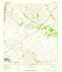
1964 Map of Uhland
USGS Topo · Published 1966About this map
Kyle and the sprawling training grounds of Camp Gary occupy the western edge of this mid-century survey, which straddles the line between Hays and Caldwell Counties. The landscape is defined by the dendritic drainage patterns of Plum Creek and its many tributaries, including Benton Branch and Clear Fork Plum Creek. While the northwest corner shows the early development of Interstate 35, the rest of the quadrangle remains agricultural, with scattered homesteads and small rural centers like Uhland and Maxwell. Genealogy researchers will find several localized burial sites such as Doyle Cem and Koeglar Hill Cem, along with Live Oak (San Miguel) Ch. In the south, the Missouri Kansas Texas railroad corridor connects the settlements of Reedville and Maxwell, passing near the distinct elevation of Koeglar Hill.
Find a feature on this map
27 named features on this map. Tap any name to fly to it.
Don’t see what you’re looking for? This feature index may not catch every label — zoom into the map to look around manually.
Map Details
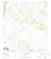
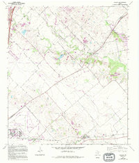
Editions of this 1964 Uhland Map
3 editions found
Other maps of this area

1896 · Austin
USGS Topo · 1:125,000

1897 · Austin
USGS Topo · 1:125,000

1910 · Austin
USGS Topo · 1:125,000

1911 · San Marcos
USGS Topo · 1:125,000

1919 · San Marcos
USGS Topo · 1:125,000

1930 · Lockhart
USGS Topo · 1:62,500

1953 · Seguin
USGS Topo · 1:250,000

1954 · Austin
USGS Topo · 1:250,000

1955 · Montopolis
USGS Topo · 1:62,500

1958 · Seguin
USGS Topo · 1:250,000