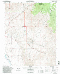
1994 Map of Uhlmeyer Spring
USGS Topo · Published 1997About this map
Tollhouse (Site) marks a historical point of transit in the high desert transition between the White Mountains and the Inyo Mountains. In the mid-1990s, this landscape was defined by its water sources and mining history, with names like Uhlmeyer Spring, Wilkerson Springs, and Batchelder Spring anchoring the arid terrain. The presence of numerous prospects and gravel pits suggests a legacy of extraction, while the Owens Valley River flows through the valley floor to the west. This survey illustrates the intricate network of 4WD trails and the Second Standard Parallel South that provided access to remote canyons like Soldier Canyon and Crooked Road Canyon, detailing the complex topography of the Inyo National Forest boundary.
Find a feature on this map
29 named features on this map. Tap any name to fly to it.
Don’t see what you’re looking for? This feature index may not catch every label — zoom into the map to look around manually.
Map Details
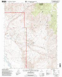
Editions of this 1994 Uhlmeyer Spring Map
2 editions found
Other maps of this area

1913 · Bishop
USGS Topo · 1:125,000

1947 · Mariposa
USGS Topo · 1:250,000

1948 · Mariposa
USGS Topo · 1:250,000

1949 · Bishop
USGS Topo · 1:62,500

1950 · Big Pine
USGS Topo · 1:62,500

1951 · Bishop
USGS Topo · 1:62,500

1951 · Blanco Mountain
USGS Topo · 1:62,500

1951 · Waucoba Mtn.
USGS Topo · 1:62,500

1957 · Mariposa
USGS Topo · 1:250,000
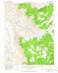
1958 · Waucoba Mtn
USGS Topo · 1:62,500