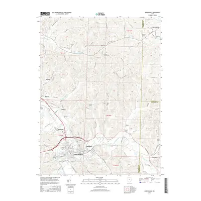
2016 Map of Uhrichsville
USGS Topo · Published 2016About this map
Uhrichsville and Dennison anchor the southern portion of this region, where the convergence of Little Stillwater Creek and local rail lines defined the industrial development of Tuscarawas County. The topography is marked by a dense network of township and county roads, such as Main St SE and Beaver Dam Rd SE, which connect several small communities including Roswell, Barnhill, and Midvale.
Find a feature on this map
191 named features on this map. Tap any name to fly to it.
Don’t see what you’re looking for? This feature index may not catch every label — zoom into the map to look around manually.
Map Details
Editions of this 2016 Uhrichsville Map
This is the sole edition of this map. No revisions or reprints were ever made.
Other maps of this area

1902 · Scio
USGS Topo · 1:62,500

1904 · Scio
USGS Topo · 1:62,500

1909 · Uhrichsville
USGS Topo · 1:62,500

1910 · Carrollton
USGS Topo · 1:62,500

1911 · Uhrichsville
USGS Topo · 1:62,500

1912 · Dover
USGS Topo · 1:62,500

1912 · Carrollton
USGS Topo · 1:62,500

1944 · Dover
USGS Topo · 1:62,500

1951 · Canton
USGS Topo · 1:250,000

1953 · Canton
USGS Topo · 1:250,000