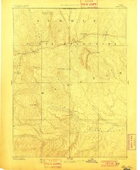
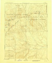
1885 Map of Uinta
USGS Topo · Published 1901About this map
Uinta Mountains peaks and high plateaus dominate this 1885 reconnaissance survey, which documents the northeastern Utah wilderness before modern development. The map follows the hydrology of the High Uintas, tracing the headwaters of the Bear River as it flows north and the Duchesne River drainage as it descends toward the Uinta Valley. These early King and Powell surveys captured the region when it was largely defined by topographic landmarks like Gilbert Peak and Mt Agassiz rather than established towns. The lack of roads or settlements emphasizes the era of pure exploration, where the Utah Boundary Line and natural features like Rhodes Plateau were the primary points of reference for geologists and early cartographers.
Find a feature on this map
28 named features on this map. Tap any name to fly to it.
Don’t see what you’re looking for? This feature index may not catch every label — zoom into the map to look around manually.
Map Details
Editions of this 1885 Uinta Map
6 editions found
Other maps of this area

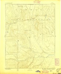
1885 · Salt Lake
USGS Topo · 1:250,000

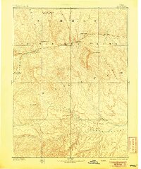
1885 · Manti
USGS Topo · 1:250,000

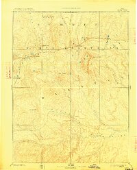
1885 · East Tavaputs
USGS Topo · 1:250,000

1885 · Ashley
USGS Topo · 1:250,000

1885 · Uinta
USGS Topo · 1:250,000

1886 · Price River
USGS Topo · 1:250,000

1895 · Manti
USGS Topo · 1:250,000

1896 · Price River
USGS Topo · 1:250,000

1900 · Coalville
USGS Topo · 1:125,000

1901 · Hayden Peak
USGS Topo · 1:125,000