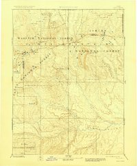
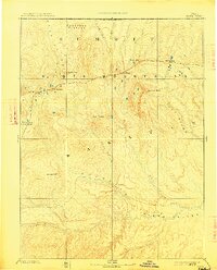
1885 Map of Uinta
USGS Topo · Published 1927About this map
The high alpine crest of the Uinta Mountains dominates this 1885 reconnaissance survey, which reflects the early scientific exploration led by Powell. The map focuses on the drainage systems and towering summits of the northern Uinta Basin, showing the transition from the glaciated peaks like Gilbert Peak and Emmons Peak down to the major watercourses of the Uinta Valley. The complex hydrology of the region is traced through the Duchesne River, Rock Creek, and Lake Fork, illustrating the primary water sources that would eventually support settlement in the valley below.
Find a feature on this map
31 named features on this map. Tap any name to fly to it.
Don’t see what you’re looking for? This feature index may not catch every label — zoom into the map to look around manually.
Map Details
Editions of this 1885 Uinta Map
6 editions found
Other maps of this area

1885 · Salt Lake
USGS Topo · 1:250,000

1885 · Manti
USGS Topo · 1:250,000

1885 · East Tavaputs
USGS Topo · 1:250,000

1885 · Ashley
USGS Topo · 1:250,000

1885 · Uinta
USGS Topo · 1:250,000

1886 · Price River
USGS Topo · 1:250,000

1895 · Manti
USGS Topo · 1:250,000

1896 · Price River
USGS Topo · 1:250,000

1900 · Coalville
USGS Topo · 1:125,000

1901 · Hayden Peak
USGS Topo · 1:125,000