
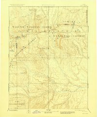
1885 Map of Uinta
USGS Topo · Published 1885About this map
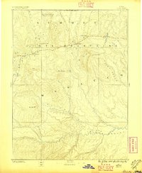
The Uinta Mountains dominate this 1885 survey, captured by the early triangulation efforts of the King and Powell surveys. The map traces the critical watershed of the Bear River and the complex drainage systems feeding the Duchesne River. High altitude peaks such as Gilbert Peak, Mt Agassiz, and Burro Peak define the ridgelines, while the southern reaches of the sheet open into the Uinta Valley. This is a landscape of vast plateaus and early watercourse identification, featuring names like Rhodes Plateau and Concrete Plateau. The lack of established towns at this date highlights the wilderness character of the region during the late nineteenth century, focusing instead on the hydrography of Strawberry Creek and Currant Creek as they weave through the high-elevation terrain.
Find a feature on this map
23 named features on this map. Tap any name to fly to it.
Don’t see what you’re looking for? This feature index may not catch every label — zoom into the map to look around manually.
Map Details
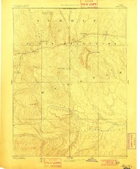
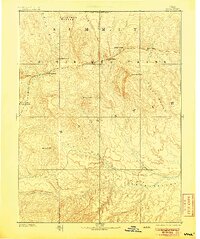
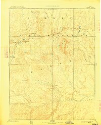
Editions of this 1885 Uinta Map
6 editions found
Other maps of this area

1885 · Salt Lake
USGS Topo · 1:250,000

1885 · Manti
USGS Topo · 1:250,000

1885 · East Tavaputs
USGS Topo · 1:250,000

1885 · Ashley
USGS Topo · 1:250,000

1886 · Price River
USGS Topo · 1:250,000

1895 · Manti
USGS Topo · 1:250,000

1896 · Price River
USGS Topo · 1:250,000

1900 · Coalville
USGS Topo · 1:125,000

1901 · Hayden Peak
USGS Topo · 1:125,000

1903 · Hayden Peak
USGS Topo · 1:125,000