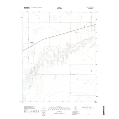
2019 Map of Umbarger
USGS Topo · Published 2019About this map
Umbarger serves as the primary settlement on this Randall County landscape, positioned along the railroad corridor and highway. The town center is marked by a local Po and is connected to the surrounding ranchland by a grid of named rural roads. To the southwest, Saint Mary's Cem remains a significant landmark for those tracing local family lineages.
Find a feature on this map
28 named features on this map. Tap any name to fly to it.
Don’t see what you’re looking for? This feature index may not catch every label — zoom into the map to look around manually.
Map Details
Editions of this 2019 Umbarger Map
This is the sole edition of this map. No revisions or reprints were ever made.
Other maps of this area

1954 · Tucumcari
USGS Topo · 1:250,000

1954 · Amarillo
USGS Topo · 1:250,000

1954 · Plainview
USGS Topo · 1:250,000

1954 · Clovis
USGS Topo · 1:250,000

1958 · Clovis
USGS Topo · 1:250,000

1958 · Amarillo
USGS Topo · 1:250,000

1958 · Tucumcari
USGS Topo · 1:250,000

1958 · Plainview
USGS Topo · 1:250,000

1960 · Canyon
USGS Topo · 1:62,500
1960 · Buffalo Stadium
USGS Topo · 1:24,000