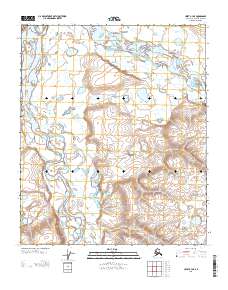
2013 Map of Umiat B-3 NE
USGS Topo · Published 2013About this map
The Anaktuvuk River and Colville River converge in this Arctic landscape, forming a complex network of braided channels and riparian wetlands characteristic of the North Slope. This 2013 survey documents the industrial footprint of the Gubic Gas Field, which sits near the western edge of the quadrangle where the topography begins to rise from the river valleys. The hydrography is dominated by the wandering path of the Chandler River as it moves toward its confluence with the Colville, creating a series of oxbows and seasonal ponds. Small tundra bodies like Kakiagun Lake dot the higher ground, illustrating the permafrost-driven drainage patterns of this remote region. The map provides a clear record of the terrain prior to further energy infrastructure development, showing the natural state of the river system alongside early extractive activity.
Find a feature on this map
5 named features on this map. Tap any name to fly to it.
Don’t see what you’re looking for? This feature index may not catch every label — zoom into the map to look around manually.
Map Details
Editions of this 2013 Umiat B-3 NE Map
This is the sole edition of this map. No revisions or reprints were ever made.
Other maps of this area

1952 · Umiat
USGS Topo · 1:250,000

1955 · Umiat C-3
USGS Topo · 1:63,360

1955 · Umiat B-3
USGS Topo · 1:63,360

1956 · Umiat
USGS Topo · 1:250,000

1964 · Umiat
USGS Topo · 1:250,000
1971 · Umiat B-2
USGS Topo · 1:63,360
1971 · Umiat C-2
USGS Topo · 1:63,360
2013 · Umiat C-3 SE
USGS Topo · 1:25,000
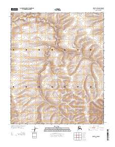
2013 · Umiat C-3 SW
USGS Topo · 1:25,000
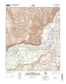
2013 · Umiat B-3 NW
USGS Topo · 1:25,000