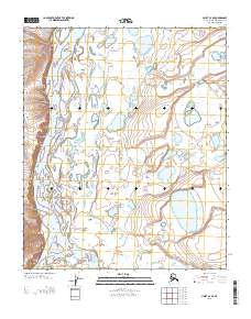
2013 Map of Umiat C-3 SE
USGS Topo · Published 2013About this map
The Colville River flows north through this remote Arctic landscape, joined by the Anaktuvuk River as they wind through a complex system of channels and oxbow lakes. Dominating the western edge of the valley is Ulüksrak Bluff, a prominent elevated terrain feature that overlooks the shifting river delta below. This area, typical of the North Slope's hydrologic patterns, demonstrates the dynamic nature of braided river systems in a permafrost environment where no permanent settlements or roads appear on the survey. The absence of infrastructure highlights the isolation of this stretch of the Alaskan wilderness, where the land is defined solely by its water bodies and significant topographical landmarks like the bluff.
Find a feature on this map
5 named features on this map. Tap any name to fly to it.
Don’t see what you’re looking for? This feature index may not catch every label — zoom into the map to look around manually.
Map Details
Editions of this 2013 Umiat C-3 SE Map
This is the sole edition of this map. No revisions or reprints were ever made.
Other maps of this area

1952 · Umiat
USGS Topo · 1:250,000

1955 · Umiat C-3
USGS Topo · 1:63,360

1955 · Umiat B-3
USGS Topo · 1:63,360

1956 · Umiat
USGS Topo · 1:250,000

1964 · Umiat
USGS Topo · 1:250,000
1971 · Umiat B-2
USGS Topo · 1:63,360
1971 · Umiat C-2
USGS Topo · 1:63,360
2013 · Umiat B-3 NE
USGS Topo · 1:25,000
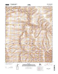
2013 · Umiat C-3 SW
USGS Topo · 1:25,000
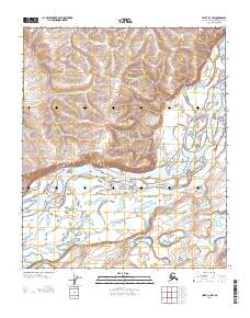
2013 · Umiat B-3 NW
USGS Topo · 1:25,000