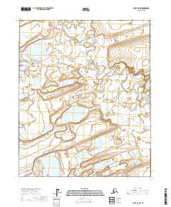
2017 Map of Umiat C-2 SW
USGS Topo · Published 2017About this map
The Itkillik River winds through this Arctic landscape, defining a complex system of oxbow lakes, marshes, and shifting wetlands in the North Slope Borough. This remote expanse of the Arctic Coastal Plain is characterized by a high density of thaw lakes and braided stream channels, illustrating the hydrological dynamics of the region's permafrost environment. Along the eastern edge of the river's path, the Slotukuyuk Bluff provides a distinct topographic rise in an otherwise low-lying wetland corridor. This 2017 study captures the area's geography as documented across portions of T3N R4E, T3N R5E, T2N R4E, and T2N R5E, providing a detailed record of the water drainage patterns and land surface features before subsequent seasonal shifts or long-term climatic changes further alter the soft-sediment terrain of the northern tundra.
Find a feature on this map
6 named features on this map. Tap any name to fly to it.
Don’t see what you’re looking for? This feature index may not catch every label — zoom into the map to look around manually.
Map Details
Editions of this 2017 Umiat C-2 SW Map
This is the sole edition of this map. No revisions or reprints were ever made.
Other maps of this area

1952 · Umiat
USGS Topo · 1:250,000

1955 · Umiat C-3
USGS Topo · 1:63,360

1955 · Umiat B-3
USGS Topo · 1:63,360

1956 · Umiat
USGS Topo · 1:250,000

1964 · Umiat
USGS Topo · 1:250,000
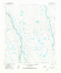
1971 · Umiat B-2
USGS Topo · 1:63,360
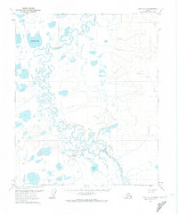
1971 · Umiat C-2
USGS Topo · 1:63,360
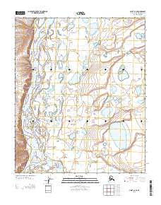
2013 · Umiat C-3 SE
USGS Topo · 1:25,000
2013 · Umiat B-3 NE
USGS Topo · 1:25,000
2013 · Umiat C-3 NE
USGS Topo · 1:25,000