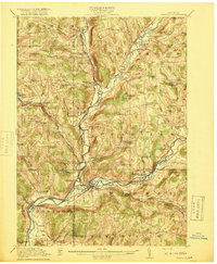
1918 Map of Unadilla
USGS Topo · Published 1918About this map
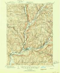
Unadilla River and Butternut Creek valleys define the geography of this southern New York region, where the convergence of the Susquehanna River at Sidney served as a vital corridor for early 20th-century transport. The map documents a dense network of rural infrastructure, including numerous numbered schoolhouses such as School No 16 and the Warner School, alongside the Friends Meeting House near Rogers Hollow. Rail lines including the New York Ontario and Western and the Delaware and Hudson weave through the valley floors, connecting industrial points like Rockwells Mills and Maywood Sta to larger hubs. This survey provides a meticulous record of the early township boundaries for Guilford, Butternuts, and Sidney, capturing the land before modern highway development bypassed these traditional river-side settlements and upland school districts.
Find a feature on this map
98 named features on this map. Tap any name to fly to it.
Don’t see what you’re looking for? This feature index may not catch every label — zoom into the map to look around manually.
Map Details
Editions of this 1918 Unadilla Map
6 editions found

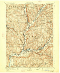
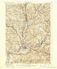
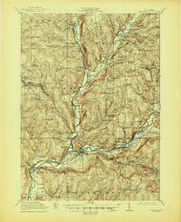
Other maps of this area

1902 · Coventry
USGS Topo · 1:62,500

1903 · Norwich
USGS Topo · 1:62,500

1904 · Oxford
USGS Topo · 1:62,500

1905 · Nineveh
USGS Topo · 1:62,500

1910 · Hartwick
USGS Topo · 1:62,500

1910 · New Berlin
USGS Topo · 1:62,500

1912 · New Berlin
USGS Topo · 1:62,500

1912 · Hartwick
USGS Topo · 1:62,500

1915 · Oneonta
USGS Topo · 1:62,500

1915 · Unadilla
USGS Topo · 1:62,500