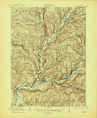
1918 Map of Unadilla
USGS Topo · Published 1944About this map
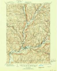
Unadilla River and Susquehanna River valley floor transitions define the geography of this central New York region during the early twentieth century. The map reveals a dense network of district schools, such as the Ives Settlement School and Shumway Hill School, serving scattered upland farming communities. The industrial and transportation backbone of the era is evident in the junction of the New York Ontario and Western RR and the Delaware and Hudson RR at Sidney, alongside significant local hubs like Rockwells Mills and East Guilford New Berlin Junction. Cultural landmarks like the Friends Meeting House in the Rogers Hollow area highlight the established religious and social fabric of the rural landscape. The topography transitions from the wetland of Black Ash Bog to the heights of Shumway Hill, documenting the precise placement of family-named crossroads like Heslops Corner and Hughstons Corners before modern development altered these local corridors.
Find a feature on this map
99 named features on this map. Tap any name to fly to it.
Don’t see what you’re looking for? This feature index may not catch every label — zoom into the map to look around manually.
Map Details
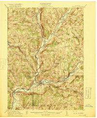
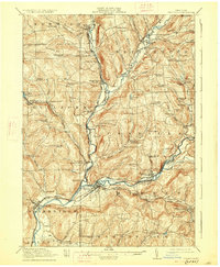
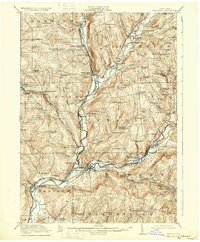
Editions of this 1918 Unadilla Map
6 editions found

Other maps of this area

1902 · Coventry
USGS Topo · 1:62,500

1903 · Norwich
USGS Topo · 1:62,500

1904 · Oxford
USGS Topo · 1:62,500

1905 · Nineveh
USGS Topo · 1:62,500

1910 · Hartwick
USGS Topo · 1:62,500

1910 · New Berlin
USGS Topo · 1:62,500

1912 · New Berlin
USGS Topo · 1:62,500

1912 · Hartwick
USGS Topo · 1:62,500

1915 · Oneonta
USGS Topo · 1:62,500

1915 · Unadilla
USGS Topo · 1:62,500