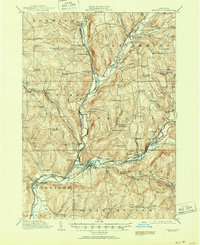
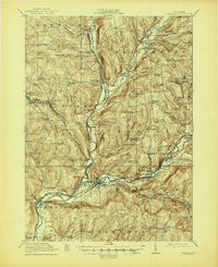
1918 Map of Unadilla
USGS Topo · Published 1951About this map
The Unadilla River and the Susquehanna River converge in this survey, forming a complex drainage network at the intersection of Chenango, Otsego, and Delaware counties. The landscape is characterized by a high density of rural school districts and family-named hamlets, such as Lathams Corners and Copes Corner, illustrating the decentralized social structure of central New York in the early twentieth century. Transportation is anchored by the New York Ontario and Western RR, which connects the industrial activity at Rockwells Mills with transport hubs like Sidney Center Maywood Sta.
Find a feature on this map
104 named features on this map. Tap any name to fly to it.
Don’t see what you’re looking for? This feature index may not catch every label — zoom into the map to look around manually.
Map Details
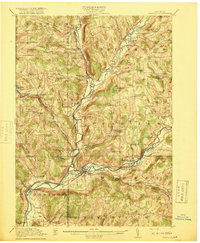
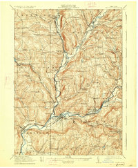
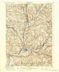
Editions of this 1918 Unadilla Map
6 editions found

Other maps of this area

1902 · Coventry
USGS Topo · 1:62,500

1903 · Norwich
USGS Topo · 1:62,500

1904 · Oxford
USGS Topo · 1:62,500

1905 · Nineveh
USGS Topo · 1:62,500

1910 · Hartwick
USGS Topo · 1:62,500

1910 · New Berlin
USGS Topo · 1:62,500

1912 · New Berlin
USGS Topo · 1:62,500

1912 · Hartwick
USGS Topo · 1:62,500

1915 · Oneonta
USGS Topo · 1:62,500

1915 · Unadilla
USGS Topo · 1:62,500