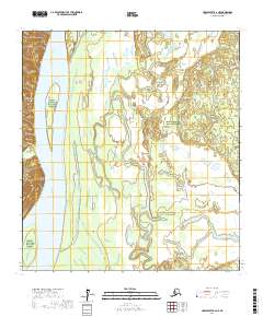
2017 Map of Unalakleet A-2 NE
USGS Topo · Published 2017About this map
The Yukon River flows prominently through this western Alaskan interior, defining the western edge of the landscape near Simon Point. Much of the territory on this map is encompassed by the Innoko National Wildlife Refuge, a region characterized by a complex network of wetlands and seasonal waterways. The drainage patterns of Saint Joe Creek and Simon Creek reveal the subtle elevation changes of the river basin, where meandering channels and oxbows dominate the terrain. This 2017 survey reflects the remote and largely unpopulated character of the Yukon-Koyukuk Census Area, showing a landscape shaped more by natural hydrology than by permanent human infrastructure or settlement. The map provides an essential baseline for understanding the vast riparian corridors that support local subsistence and biodiversity in the Alaskan interior.
Find a feature on this map
11 named features on this map. Tap any name to fly to it.
Don’t see what you’re looking for? This feature index may not catch every label — zoom into the map to look around manually.
Map Details
Editions of this 2017 Unalakleet A-2 NE Map
This is the sole edition of this map. No revisions or reprints were ever made.
Other maps of this area

1951 · Unalakleet
USGS Topo · 1:250,000

1952 · Unalakleet A-2
USGS Topo · 1:63,360

1952 · Unalakleet A-1
USGS Topo · 1:63,360

1952 · Unalakleet B-2
USGS Topo · 1:63,360

1952 · Unalakleet B-1
USGS Topo · 1:63,360

1952 · Unalakleet
USGS Topo · 1:250,000

1964 · Unalakleet
USGS Topo · 1:250,000
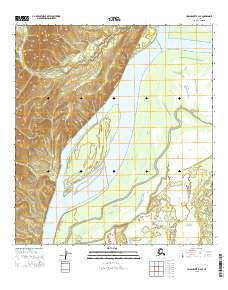
2015 · Unalakleet B-2 SE
USGS Topo · 1:25,000
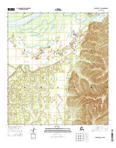
2015 · Unalakleet B-1 SW
USGS Topo · 1:25,000
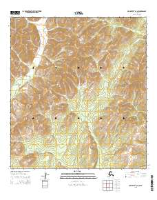
2015 · Unalakleet B-2 SW
USGS Topo · 1:25,000