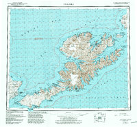
1951 Map of Unalaska
USGS Topo · Published 1988About this map
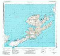
Unalaska Island anchors this mid-century survey of the eastern Aleutians, showing a landscape defined by volcanic peaks and strategic military installations. In the years following World War II, the area retained significant infrastructure like Fort Glenn on Umnak Island and a coastal Seaplane Base. Small coastal settlements such as Chernofski and Makushin appear alongside the massive Makushin Volcano, reflecting the remote and challenging terrain of the Fox Islands. The map also documents the rugged coastline through complex waterways like Beaver Inlet and Sedanka Pass. Much of the territory is designated as the Aleutian Is Wilderness, preserving the natural state of landmarks from Table Top Mtn to the Shaler Mountains. For those researching maritime history or Alaska's defensive posture during the early Cold War, these details provide a clear view of the islands' transition from a wartime theater to a protected wilderness.
Find a feature on this map
178 named features on this map. Tap any name to fly to it.
Don’t see what you’re looking for? This feature index may not catch every label — zoom into the map to look around manually.
Map Details
Editions of this 1951 Unalaska Map
10 editions found

1952 edition
22.9 x 22.9 inches
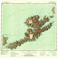
1952 edition
22.9 x 22.8 inches
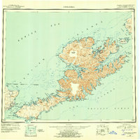
1956 edition
22.9 x 22.8 inches
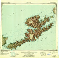
1956 edition
22.9 x 22.7 inches
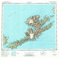
1972 edition
23.4 x 22.8 inches
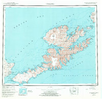
1972 edition
23.4 x 22.8 inches
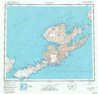
1978 edition
23.7 x 22.6 inches
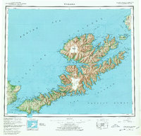
1978 edition
23.7 x 22.7 inches
1984 edition
24.6 x 22.9 inches
1988 edition
24.2 x 22.5 inches
Other maps of this area
1951 · Unalaska
USGS Topo · 1:250,000

1951 · Unimak
USGS Topo · 1:250,000

1951 · Umnak
USGS Topo · 1:250,000

1958 · Unimak
USGS Topo · 1:250,000

1958 · Umnak
USGS Topo · 1:250,000

1989 · Unalaska A-5
USGS Topo · 1:63,360
1989 · Unalaska A-4
USGS Topo · 1:63,360
1989 · Unalaska B-1
USGS Topo · 1:63,360

1989 · Unimak A-6
USGS Topo · 1:63,360

1989 · Unalaska C-3
USGS Topo · 1:63,360