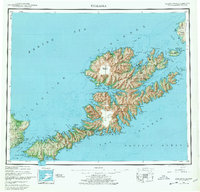
1951 Map of Unalaska
USGS Topo · Published 1978About this map
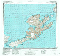
The remote maritime landscape of the Fox Islands is documented in this mid-century survey, based on aerial photography and field work completed between 1937 and 1944. Centered on the intricate coastline of Unalaska, the map highlights essential wartime infrastructure including the Military Airport and Fort Glenn on Umnak Island. While much of the territory is protected within the Aleutian Islands National Wildlife Refuge, the map preserves the locations of established outposts like Makushin and Kashega. The terrain is dominated by the massive Makushin Volcano, which rises above a complex network of bays such as Beaver Inlet and Unalaska Bay. Strategic maritime passages, including Akutan Pass and Unalga Pass, separate the larger landmasses from outlying features like Akutan Island and the Baby Islands. This survey illustrates the era's focus on surveying these distant Aleutian territories for military and navigational purposes.
Find a feature on this map
173 named features on this map. Tap any name to fly to it.
Don’t see what you’re looking for? This feature index may not catch every label — zoom into the map to look around manually.
Map Details
Editions of this 1951 Unalaska Map
10 editions found

1952 edition
22.9 x 22.9 inches
1952 edition
22.9 x 22.8 inches
1956 edition
22.9 x 22.8 inches
1956 edition
22.9 x 22.7 inches
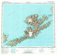
1972 edition
23.4 x 22.8 inches
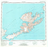
1972 edition
23.4 x 22.8 inches
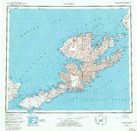
1978 edition
23.7 x 22.6 inches
1978 edition
23.7 x 22.7 inches
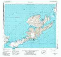
1984 edition
24.6 x 22.9 inches
1988 edition
24.2 x 22.5 inches
Other maps of this area
1951 · Unalaska
USGS Topo · 1:250,000

1951 · Unimak
USGS Topo · 1:250,000

1951 · Umnak
USGS Topo · 1:250,000

1958 · Unimak
USGS Topo · 1:250,000

1958 · Umnak
USGS Topo · 1:250,000

1989 · Unalaska A-5
USGS Topo · 1:63,360
1989 · Unalaska A-4
USGS Topo · 1:63,360
1989 · Unalaska B-1
USGS Topo · 1:63,360

1989 · Unimak A-6
USGS Topo · 1:63,360

1989 · Unalaska C-3
USGS Topo · 1:63,360