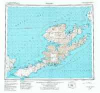
1951 Map of Unalaska
USGS Topo · Published 1984About this map
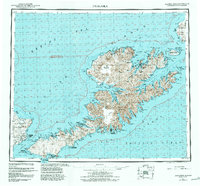
The Unalaska settlement and its deep-water harbor at Captains Bay serve as the focal point of this mid-century Aleutian survey. While most of the island is defined by the massive Shaler Mountains and the steaming Makushin Volcano, smaller coastal outposts like Makushin, Kashega, and Chernofski appear along the sheltered inlets of the Bering Sea and Pacific Ocean. On Amaknak Island, the complex coastline includes Port Levashef, reflecting the maritime importance of the area. To the southwest on Umnak Island, the military presence at Fort Glenn is documented alongside remote coastal features like Lion Bight and Observatory Pt. The map also captures the intricate archipelago to the east, including Unalga Island and the Baby Islands, showing the many passes and straits that dictated navigation through these volatile northern waters.
Find a feature on this map
104 named features on this map. Tap any name to fly to it.
Don’t see what you’re looking for? This feature index may not catch every label — zoom into the map to look around manually.
Map Details
Editions of this 1951 Unalaska Map
10 editions found

1952 edition
22.9 x 22.9 inches
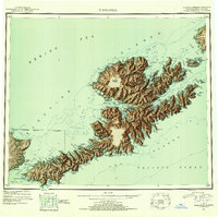
1952 edition
22.9 x 22.8 inches
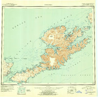
1956 edition
22.9 x 22.8 inches
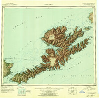
1956 edition
22.9 x 22.7 inches
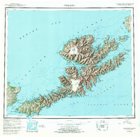
1972 edition
23.4 x 22.8 inches
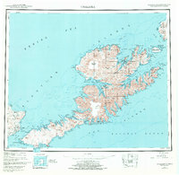
1972 edition
23.4 x 22.8 inches
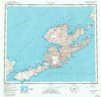
1978 edition
23.7 x 22.6 inches
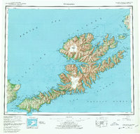
1978 edition
23.7 x 22.7 inches
1984 edition
24.6 x 22.9 inches
1988 edition
24.2 x 22.5 inches
Other maps of this area
1951 · Unalaska
USGS Topo · 1:250,000

1951 · Unimak
USGS Topo · 1:250,000

1951 · Umnak
USGS Topo · 1:250,000

1958 · Unimak
USGS Topo · 1:250,000

1958 · Umnak
USGS Topo · 1:250,000

1989 · Unalaska A-5
USGS Topo · 1:63,360
1989 · Unalaska A-4
USGS Topo · 1:63,360
1989 · Unalaska B-1
USGS Topo · 1:63,360

1989 · Unimak A-6
USGS Topo · 1:63,360

1989 · Unalaska C-3
USGS Topo · 1:63,360