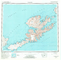
1951 Map of Unalaska
USGS Topo · Published 1972About this map
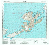
Unalaska Island dominates this mid-century reconnaissance, showcasing a landscape defined by volcanic peaks and deeply recessed fjords in the Fox Islands group. The map detail reflects the region's strategic importance during and after World War II, clearly marking Fort Glenn and the Military Airport on Umnak Island. These installations contrast with the isolated native settlements and historical trading sites at Makushin, Chernofski, and Kashega, which are situated along the island's complex coastline. The topography is anchored by the massive Makushin Volcano and the Shaler Mountains, with hydrographic data detailing the treacherous waters of Umnak Pass and the Bering Sea. Protected lands are noted under the Aleutian Islands National Wildlife Refuge designation, illustrating the intersection of military utility and wilderness preservation in the Aleutian Chain.
Find a feature on this map
90 named features on this map. Tap any name to fly to it.
Don’t see what you’re looking for? This feature index may not catch every label — zoom into the map to look around manually.
Map Details
Editions of this 1951 Unalaska Map
10 editions found

1952 edition
22.9 x 22.9 inches
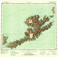
1952 edition
22.9 x 22.8 inches
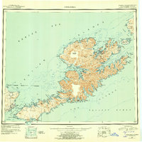
1956 edition
22.9 x 22.8 inches
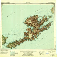
1956 edition
22.9 x 22.7 inches
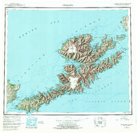
1972 edition
23.4 x 22.8 inches
1972 edition
23.4 x 22.8 inches
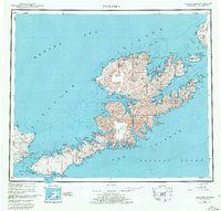
1978 edition
23.7 x 22.6 inches
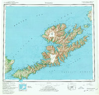
1978 edition
23.7 x 22.7 inches
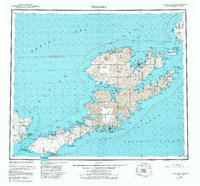
1984 edition
24.6 x 22.9 inches
1988 edition
24.2 x 22.5 inches
Other maps of this area
1951 · Unalaska
USGS Topo · 1:250,000

1951 · Unimak
USGS Topo · 1:250,000

1951 · Umnak
USGS Topo · 1:250,000

1958 · Unimak
USGS Topo · 1:250,000

1958 · Umnak
USGS Topo · 1:250,000

1989 · Unalaska A-5
USGS Topo · 1:63,360
1989 · Unalaska A-4
USGS Topo · 1:63,360
1989 · Unalaska B-1
USGS Topo · 1:63,360

1989 · Unimak A-6
USGS Topo · 1:63,360

1989 · Unalaska C-3
USGS Topo · 1:63,360