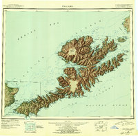
1951 Map of Unalaska
USGS Topo · Published 1956About this map
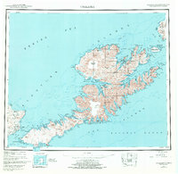
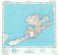
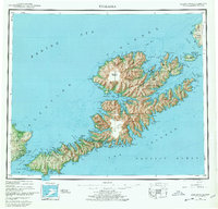
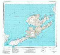
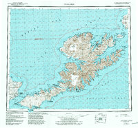
Unalaska Island and its surrounding archipelago appear here during a period of significant post-war military presence in the Aleutian Islands. The landscape is dominated by the massive Makushin Volcano, which rises above a coastline deeply incised by fjords such as Beaver Inlet and Unalaska Bay. Along the northern shores, the U S Naval Reserve footprint indicates the strategic importance of this maritime crossroads between the Bering Sea and the Pacific Ocean. On neighboring Umnak Island, the sprawling Air Force Base and Fort Glenn represent the height of the Cold War era defense infrastructure in the Fox Islands. Small settlements like Makushin, Chernofski, and Kashega are documented along the protected bays, showing the sparse but persistent human habitation in this maritime environment. A single Portage route is noted crossing the narrow neck of land between Makushin Bay and Captains Bay.
Find a feature on this map
125 named features on this map. Tap any name to fly to it.
Don’t see what you’re looking for? This feature index may not catch every label — zoom into the map to look around manually.
Map Details
Editions of this 1951 Unalaska Map
10 editions found

1952 edition
22.9 x 22.9 inches
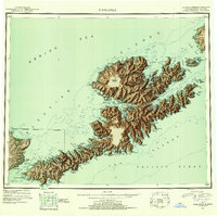
1952 edition
22.9 x 22.8 inches
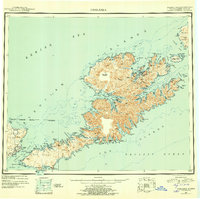
1956 edition
22.9 x 22.8 inches
1956 edition
22.9 x 22.7 inches
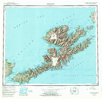
1972 edition
23.4 x 22.8 inches
1972 edition
23.4 x 22.8 inches
1978 edition
23.7 x 22.6 inches
1978 edition
23.7 x 22.7 inches
1984 edition
24.6 x 22.9 inches
1988 edition
24.2 x 22.5 inches
Other maps of this area
1951 · Unalaska
USGS Topo · 1:250,000

1951 · Unimak
USGS Topo · 1:250,000

1951 · Umnak
USGS Topo · 1:250,000

1958 · Unimak
USGS Topo · 1:250,000

1958 · Umnak
USGS Topo · 1:250,000

1989 · Unalaska A-5
USGS Topo · 1:63,360
1989 · Unalaska A-4
USGS Topo · 1:63,360
1989 · Unalaska B-1
USGS Topo · 1:63,360

1989 · Unimak A-6
USGS Topo · 1:63,360

1989 · Unalaska C-3
USGS Topo · 1:63,360