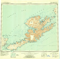
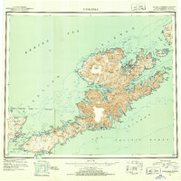
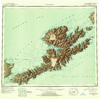
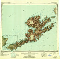
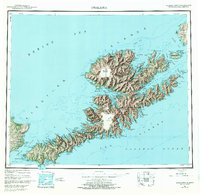
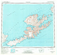
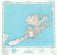
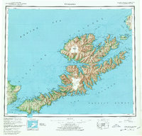
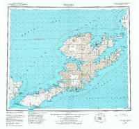
1951 Map of Unalaska
USGS Topo · Published 1956About this map
Unalaska and Dutch Harbor serve as the primary hubs on this post-war survey of the eastern Fox Islands. The map illustrates a landscape shaped by military activity and maritime geography, prominently featuring the U.S. Naval Reserve and an extensive Air Force Base near Fort Glenn on Umnak Island. These installations highlight the strategic importance of the Aleutian Islands during the mid-20th century, even as small settlements like Makushin, Chernofski, and Biorka maintain their presence on the coast.
Find a feature on this map
122 named features on this map. Tap any name to fly to it.
Don’t see what you’re looking for? This feature index may not catch every label — zoom into the map to look around manually.
Map Details
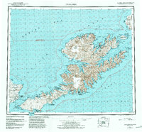
Editions of this 1951 Unalaska Map
10 editions found
1952 edition
22.9 x 22.9 inches
1952 edition
22.9 x 22.8 inches
1956 edition
22.9 x 22.8 inches
1956 edition
22.9 x 22.7 inches
1972 edition
23.4 x 22.8 inches
1972 edition
23.4 x 22.8 inches
1978 edition
23.7 x 22.6 inches
1978 edition
23.7 x 22.7 inches
1984 edition
24.6 x 22.9 inches
1988 edition
24.2 x 22.5 inches
Historical Maps of Unalaska Through Time
1 maps found