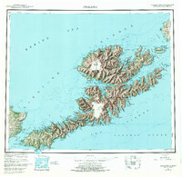
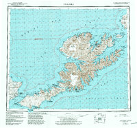
1951 Map of Unalaska
USGS Topo · Published 1972About this map
Unalaska Island and the surrounding Fox Islands appear here as documented in the mid-twentieth century, showcasing a landscape defined by volcanic peaks and deeply recessed bays. The map details the central Makushin Volcano and coastal settlements like Unalaska, Dutch Harbor, and Biorka during a period of transition after World War II. Military infrastructure remains a significant presence, evidenced by the Military Airport and Fort Glenn on the southwestern reach of the island. Small outposts such as Makushin, Kashega, and Chernofski are noted along the complex coastline, providing a record of human habitation at the edges of the Bering Sea. The surveying reflects the era's focus on maritime navigation and defense, labeling landmarks like Ulakta Head and Pyramid Pk that served as critical points for those traversing the Udagak Strait and Akutan Pass.
Find a feature on this map
162 named features on this map. Tap any name to fly to it.
Don’t see what you’re looking for? This feature index may not catch every label — zoom into the map to look around manually.
Map Details
Editions of this 1951 Unalaska Map
10 editions found

1952 edition
22.9 x 22.9 inches
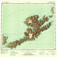
1952 edition
22.9 x 22.8 inches
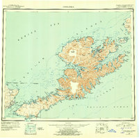
1956 edition
22.9 x 22.8 inches
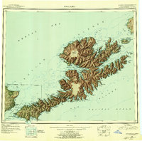
1956 edition
22.9 x 22.7 inches
1972 edition
23.4 x 22.8 inches
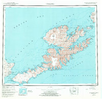
1972 edition
23.4 x 22.8 inches
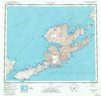
1978 edition
23.7 x 22.6 inches
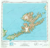
1978 edition
23.7 x 22.7 inches
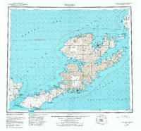
1984 edition
24.6 x 22.9 inches
1988 edition
24.2 x 22.5 inches
Other maps of this area
1951 · Unalaska
USGS Topo · 1:250,000

1951 · Unimak
USGS Topo · 1:250,000

1951 · Umnak
USGS Topo · 1:250,000

1958 · Unimak
USGS Topo · 1:250,000

1958 · Umnak
USGS Topo · 1:250,000

1989 · Unalaska A-5
USGS Topo · 1:63,360
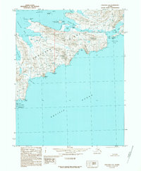
1989 · Unalaska A-4
USGS Topo · 1:63,360
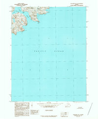
1989 · Unalaska B-1
USGS Topo · 1:63,360

1989 · Unimak A-6
USGS Topo · 1:63,360

1989 · Unalaska C-3
USGS Topo · 1:63,360