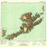
1951 Map of Unalaska
USGS Topo · Published 1952About this map
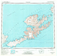
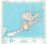
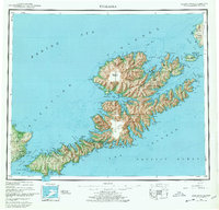
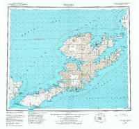
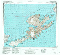
The Fox Islands and their intricate coastline are recorded here during the early Cold War era, a period when the Aleutian chain remained a critical outpost of American Pacific defense. Dominating the center of the sheet is the massive Makushin Volcano, which towers over a landscape defined by deep fjords and isolated outposts. The map documents established settlements like Unalaska and Dutch Harbor, which had recently served as vital military hubs during World War II, alongside smaller villages such as Makushin, Kashega, and Chernofski. On the western edge, the strategic importance of Umnak Island is clear, with a Military Airport and Air Force Base situated near Port Glenn. This reconnaissance effort captures the transition of these islands from active wartime theaters to essential northern maritime and military watchpoints.
Find a feature on this map
114 named features on this map. Tap any name to fly to it.
Don’t see what you’re looking for? This feature index may not catch every label — zoom into the map to look around manually.
Map Details
Editions of this 1951 Unalaska Map
10 editions found

1952 edition
22.9 x 22.9 inches
1952 edition
22.9 x 22.8 inches
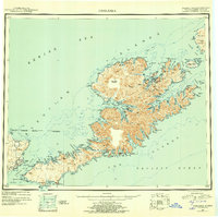
1956 edition
22.9 x 22.8 inches
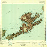
1956 edition
22.9 x 22.7 inches
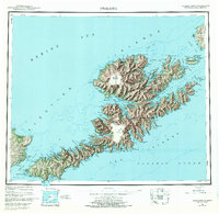
1972 edition
23.4 x 22.8 inches
1972 edition
23.4 x 22.8 inches
1978 edition
23.7 x 22.6 inches
1978 edition
23.7 x 22.7 inches
1984 edition
24.6 x 22.9 inches
1988 edition
24.2 x 22.5 inches
Other maps of this area
1951 · Unalaska
USGS Topo · 1:250,000

1951 · Unimak
USGS Topo · 1:250,000

1951 · Umnak
USGS Topo · 1:250,000

1958 · Unimak
USGS Topo · 1:250,000

1958 · Umnak
USGS Topo · 1:250,000

1989 · Unalaska A-5
USGS Topo · 1:63,360
1989 · Unalaska A-4
USGS Topo · 1:63,360
1989 · Unalaska B-1
USGS Topo · 1:63,360

1989 · Unimak A-6
USGS Topo · 1:63,360

1989 · Unalaska C-3
USGS Topo · 1:63,360