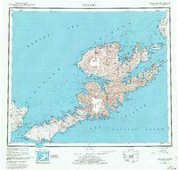
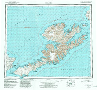
1951 Map of Unalaska
USGS Topo · Published 1978About this map
The Aleutian Islands chain, including the major landmasses of Unalaska Island and the eastern edge of Umnak Island, appears here in a mid-century reconnaissance survey. The complex coastline is defined by massive natural harbors such as Unalaska Bay, Beaver Inlet, and Makushin Bay, which provided critical shelter for maritime operations during the era. The terrain is dominated by the soaring Makushin Volcano and the Shaler Mountains, illustrating the volcanic origins of the archipelago.
Find a feature on this map
77 named features on this map. Tap any name to fly to it.
Don’t see what you’re looking for? This feature index may not catch every label — zoom into the map to look around manually.
Map Details
Editions of this 1951 Unalaska Map
10 editions found

1952 edition
22.9 x 22.9 inches
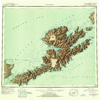
1952 edition
22.9 x 22.8 inches
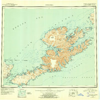
1956 edition
22.9 x 22.8 inches
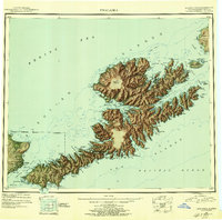
1956 edition
22.9 x 22.7 inches
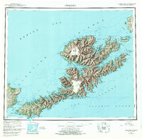
1972 edition
23.4 x 22.8 inches
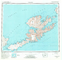
1972 edition
23.4 x 22.8 inches
1978 edition
23.7 x 22.6 inches
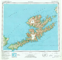
1978 edition
23.7 x 22.7 inches
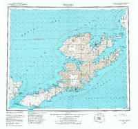
1984 edition
24.6 x 22.9 inches
1988 edition
24.2 x 22.5 inches
Other maps of this area
1951 · Unalaska
USGS Topo · 1:250,000

1951 · Unimak
USGS Topo · 1:250,000

1951 · Umnak
USGS Topo · 1:250,000

1958 · Unimak
USGS Topo · 1:250,000

1958 · Umnak
USGS Topo · 1:250,000

1989 · Unalaska A-5
USGS Topo · 1:63,360
1989 · Unalaska A-4
USGS Topo · 1:63,360
1989 · Unalaska B-1
USGS Topo · 1:63,360

1989 · Unimak A-6
USGS Topo · 1:63,360

1989 · Unalaska C-3
USGS Topo · 1:63,360