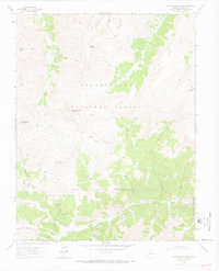
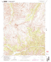
1963 Map of Uncompahgre Peak
USGS Topo · Published 1970About this map
Capitol City sits at the confluence of Henson Creek and Yellowstone Gulch, serving as a silent reminder of the silver mining era in the San Juan Mountains. This high-altitude landscape is dominated by the massive presence of Uncompahgre Peak and Matterhorn Peak, where the timberline gives way to a network of Jeep Trails and Pack Trails. The mapping shows a rugged industrial heritage with the Silver Jack Mine and Pride of America Mine situated near the edges of the Uncompahgre National Forest.
Find a feature on this map
42 named features on this map. Tap any name to fly to it.
Don’t see what you’re looking for? This feature index may not catch every label — zoom into the map to look around manually.
Map Details
Editions of this 1963 Uncompahgre Peak Map
5 editions found
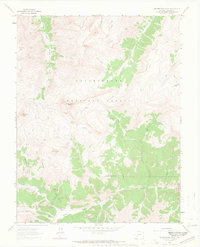
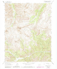
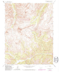
Other maps of this area

1897 · Silverton
USGS Topo · 1:62,500

1901 · Silverton
USGS Topo · 1:62,500

1902 · Silverton
USGS Topo · 1:62,500

1902 · Ouray
USGS Topo · 1:62,500

1903 · Lake City
USGS Topo · 1:62,500

1904 · Ouray
USGS Topo · 1:62,500

1905 · Lake City
USGS Topo · 1:62,500

1905 · San Cristobal
USGS Topo · 1:125,000

1907 · San Cristobal
USGS Topo · 1:125,000

1908 · Uncompahgre
USGS Topo · 1:125,000