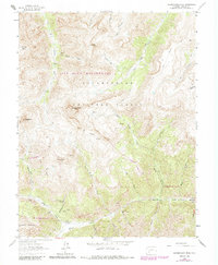
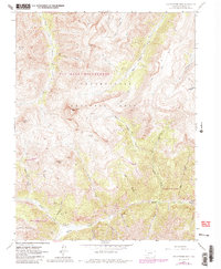
1963 Map of Uncompahgre Peak
USGS Topo · Published 1984About this map
Capitol City (Site) sits at the confluence of Henson Creek and the North Fork Henson Creek, serving as a silent witness to the mining intensity of the San Juan Mountains in the early 1960s. This survey detail highlights a landscape defined by verticality and extraction, where high-altitude claims like the Silver Jack Mine and Pride of America Mine are connected by a network of rugged paths including the Little Cimarron Trail.
Find a feature on this map
41 named features on this map. Tap any name to fly to it.
Don’t see what you’re looking for? This feature index may not catch every label — zoom into the map to look around manually.
Map Details
Editions of this 1963 Uncompahgre Peak Map
5 editions found
Other maps of this area

1897 · Silverton
USGS Topo · 1:62,500

1901 · Silverton
USGS Topo · 1:62,500

1902 · Silverton
USGS Topo · 1:62,500

1902 · Ouray
USGS Topo · 1:62,500

1903 · Lake City
USGS Topo · 1:62,500

1904 · Ouray
USGS Topo · 1:62,500

1905 · Lake City
USGS Topo · 1:62,500

1905 · San Cristobal
USGS Topo · 1:125,000

1907 · San Cristobal
USGS Topo · 1:125,000

1908 · Uncompahgre
USGS Topo · 1:125,000