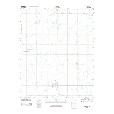
2009 Map of Union City
USGS Topo · Published 2009About this map
Union City serves as the primary hub of this Canadian County landscape, situated just north of the Canadian River. The terrain is defined by a grid of agricultural and transport roads, including Reno Rd E and S Radio Rd, which connect scattered homesteads and farming operations. The area is well-drained by several watercourses, such as Sixmile Creek flowing through the north and Beaver Creek in the southeast, alongside the Oknoname 017001 Reservoir.
Find a feature on this map
43 named features on this map. Tap any name to fly to it.
Don’t see what you’re looking for? This feature index may not catch every label — zoom into the map to look around manually.
Map Details
Editions of this 2009 Union City Map
This is the sole edition of this map. No revisions or reprints were ever made.
Other maps of this area

1892 · Kingfisher
USGS Topo · 1:125,000

1893 · Fort Reno
USGS Topo · 1:62,500

1893 · Buggy Creek
USGS Topo · 1:62,500

1893 · Minco
USGS Topo · 1:62,500

1895 · Kingfisher
USGS Topo · 1:125,000

1904 · Chickasha
USGS Topo · 1:125,000

1941 · Fort Reno
USGS Topo · 1:62,500

1942 · Fort Reno
USGS Topo · 1:62,500

1949 · Fort Reno
USGS Topo · 1:62,500

1954 · Oklahoma City
USGS Topo · 1:250,000