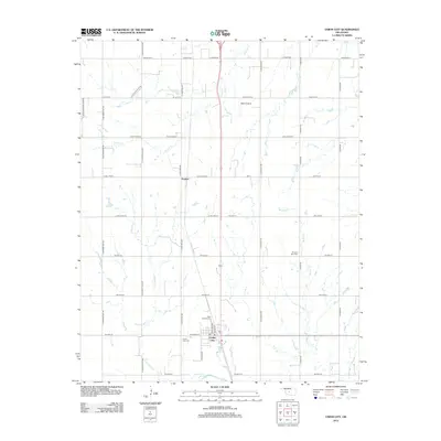
2012 Map of Union City
USGS Topo · Published 2012About this map
Union City occupies the southern portion of this Canadian County landscape, where the intersection of major roads and local streets like N Kate Boevers and W Division St anchors the community. The town's historical foundations are evident in the proximity of Union City Cem and Saint Josephs Cem, providing valuable touchpoints for genealogical research. Northward, the small settlement of Powers is positioned along the section lines, reflecting the grid-based development typical of the Oklahoma prairie.
Find a feature on this map
40 named features on this map. Tap any name to fly to it.
Don’t see what you’re looking for? This feature index may not catch every label — zoom into the map to look around manually.
Map Details
Editions of this 2012 Union City Map
This is the sole edition of this map. No revisions or reprints were ever made.
Other maps of this area

1892 · Kingfisher
USGS Topo · 1:125,000

1893 · Fort Reno
USGS Topo · 1:62,500

1893 · Buggy Creek
USGS Topo · 1:62,500

1893 · Minco
USGS Topo · 1:62,500

1895 · Kingfisher
USGS Topo · 1:125,000

1904 · Chickasha
USGS Topo · 1:125,000

1941 · Fort Reno
USGS Topo · 1:62,500

1942 · Fort Reno
USGS Topo · 1:62,500

1949 · Fort Reno
USGS Topo · 1:62,500

1954 · Oklahoma City
USGS Topo · 1:250,000