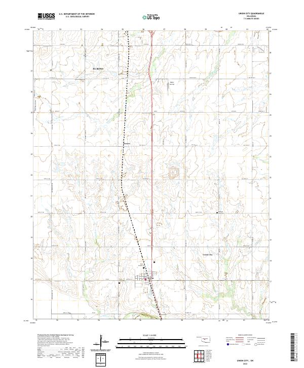
2022 Map of Union City
USGS Topo · Published 2022About this map
Union City serves as a primary hub in this portion of Canadian County, situated at the intersection of Main St and Division St. The landscape is defined by the section-line road grid typical of the Oklahoma prairie, where agricultural tracts are punctuated by rural institutions. Genealogists will find significant value in the documentation of local burial grounds, including the Union City Cem just south of the town center, Saint Josephs Cem further north, and the Pleasant View Cem situated near the eastern edge of the quadrangle.
Find a feature on this map
58 named features on this map. Tap any name to fly to it.
Don’t see what you’re looking for? This feature index may not catch every label — zoom into the map to look around manually.
Map Details
Editions of this 2022 Union City Map
This is the sole edition of this map. No revisions or reprints were ever made.
Other maps of this area

1892 · Kingfisher
USGS Topo · 1:125,000

1893 · Fort Reno
USGS Topo · 1:62,500

1893 · Buggy Creek
USGS Topo · 1:62,500

1893 · Minco
USGS Topo · 1:62,500

1895 · Kingfisher
USGS Topo · 1:125,000

1904 · Chickasha
USGS Topo · 1:125,000

1941 · Fort Reno
USGS Topo · 1:62,500

1942 · Fort Reno
USGS Topo · 1:62,500

1949 · Fort Reno
USGS Topo · 1:62,500

1954 · Oklahoma City
USGS Topo · 1:250,000