
1972 Map of Union East
USGS Topo · Published 1973About this map
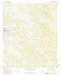
The town of Union serves as a focal point in the early 1970s, situated at the intersection of local transport and the Gulf Mobile and Ohio railroad line. This survey details the borderlands of Neshoba Co and Newton Co, where a network of rural churches and cemeteries, such as Cross Roads Ch and County Line Cem, provide a structural framework for the local community. The landscape is heavily dissected by small waterways including Chunky Creek, Rock Creek, and Fulton Creek, which dictate the placement of early settlements and agricultural field lines.
Find a feature on this map
40 named features on this map. Tap any name to fly to it.
Don’t see what you’re looking for? This feature index may not catch every label — zoom into the map to look around manually.
Map Details
Editions of this 1972 Union East Map
2 editions found
Other maps of this area

1953 · Meridian
USGS Topo · 1:250,000

1957 · Meridian
USGS Topo · 1:250,000

1957 · Chunky
USGS Topo · 1:62,500

1962 · House
USGS Topo · 1:24,000

1962 · Post
USGS Topo · 1:24,000

1965 · Meridian
USGS Topo · 1:250,000

1966 · Decatur NW
USGS Topo · 1:24,000

1966 · Decatur
USGS Topo · 1:24,000

1972 · Deemer
USGS Topo · 1:24,000
1972 · McDonald
USGS Topo · 1:24,000