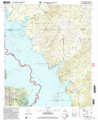
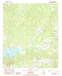
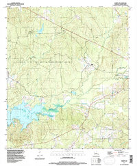
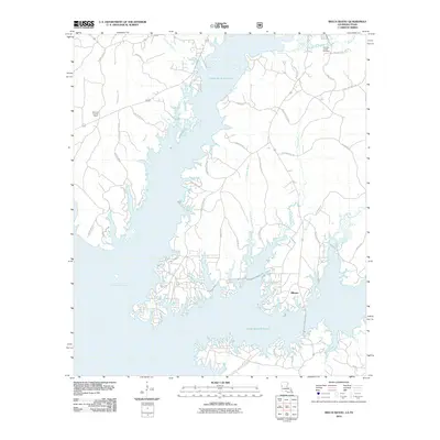
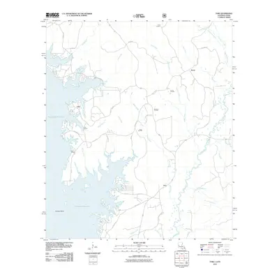
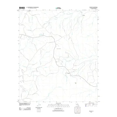
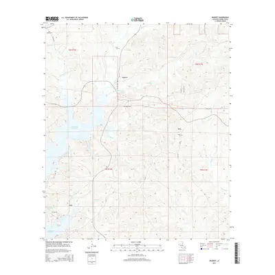
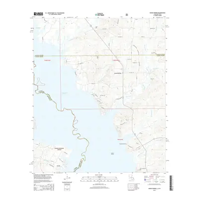
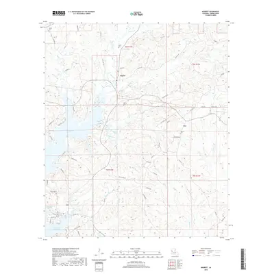
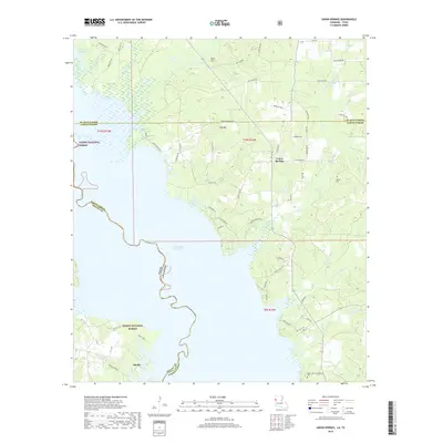
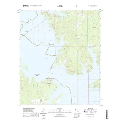
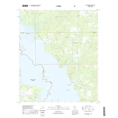
2003 Map of Union Springs
USGS Topo · Published 2004About this map
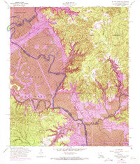
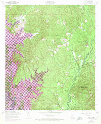
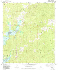
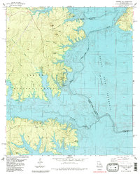
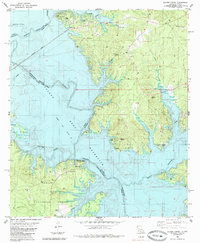
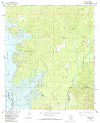
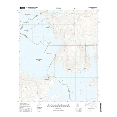
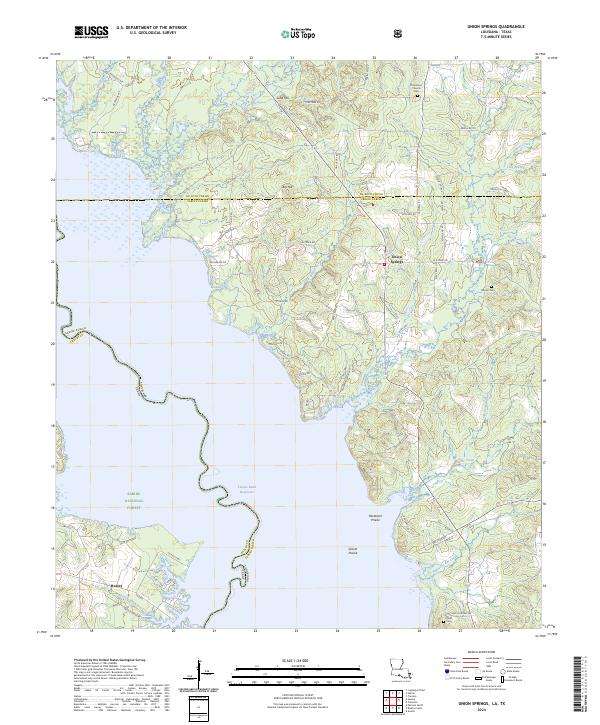
The sprawling waters of the Toledo Bend Reservoir dominate the western half of this landscape, marking the winding border between Louisiana and Texas. This survey captures a rural landscape defined by historical land divisions such as the Las Ormigas Grant Lot No 4 and the protected timberlands of the Sabine National Forest. Small settlements and family landmarks are scattered throughout the piney woods and bayous, including the community of Union Springs and the nearby Henretta Ch. The terrain is deeply dissected by a network of waterways like Bossier Bayou and Moccasin Bayou, which flow through the low-lying areas between local elevations such as Sand Hill. For those tracing local history, the presence of Bossier Cem and Pauls Cem provides critical points for genealogical research in this borderland region.
Find a feature on this map
37 named features on this map. Tap any name to fly to it.
Don’t see what you’re looking for? This feature index may not catch every label — zoom into the map to look around manually.
Map Details
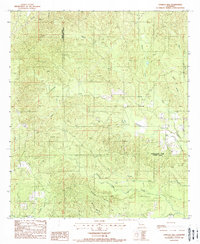
Editions of this 2003 Union Springs Map
This is the sole edition of this map. No revisions or reprints were ever made.
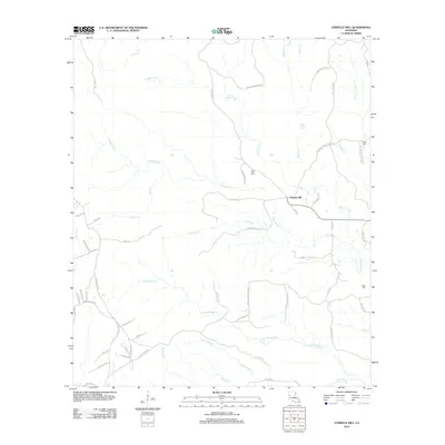
Historical Maps of Huxley Through Time
59 maps found
1944 Negreet
Sabine Parish, LA
1954 Negreet
Sabine Parish, LA
1954 Negreet
Sabine Parish, LA

1954 Peason
Sabine Parish, LA
1954 Salter Creek
Sabine Parish, LA
1954 Toro
Sabine Parish, LA
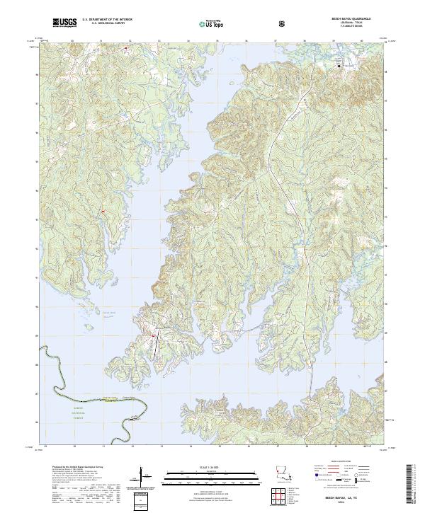
1984 Beech Bayou
Sabine Parish, LA
1984 Union Springs
Sabine Parish, LA
1985 Negreet
Sabine Parish, LA
1985 Negreet SW
Sabine Parish, LA
1985 Salter Creek
Sabine Parish, LA
1985 Toro
Sabine Parish, LA
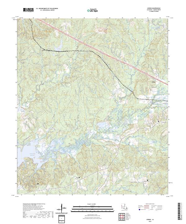
1988 Loring
Sabine Parish, LA
1988 Vowells Mill
Sabine Parish, LA
1994 Loring
Sabine Parish, LA
1998 Peason
Sabine Parish, LA
2003 Beech Bayou
Sabine Parish, LA
2003 Salter Creek
Sabine Parish, LA
2003 Union Springs
Sabine Parish, LA
2010 Beech Bayou
Sabine Parish, LA
2010 Salter Creek
Sabine Parish, LA
2010 Toro
Sabine Parish, LA
2010 Union Springs
Sabine Parish, LA
2012 Loring
Sabine Parish, LA
2012 Negreet
Sabine Parish, LA
2012 Peason
Sabine Parish, LA
2012 Vowells Mill
Sabine Parish, LA
2015 Beech Bayou
Sabine Parish, LA
2015 Loring
Sabine Parish, LA
2015 Negreet
Sabine Parish, LA
2015 Peason
Sabine Parish, LA
2015 Salter Creek
Sabine Parish, LA
2015 Toro
Sabine Parish, LA
2015 Union Springs
Sabine Parish, LA
2015 Vowells Mill
Sabine Parish, LA
2018 Beech Bayou
Sabine Parish, LA
2018 Loring
Sabine Parish, LA
2018 Negreet
Sabine Parish, LA
2018 Peason
Sabine Parish, LA
2018 Salter Creek
Sabine Parish, LA
2018 Toro
Sabine Parish, LA
2018 Union Springs
Sabine Parish, LA
2018 Vowells Mill
Sabine Parish, LA
2020 Beech Bayou
Sabine Parish, LA
2020 Loring
Sabine Parish, LA
2020 Negreet
Sabine Parish, LA
2020 Peason
Sabine Parish, LA
2020 Salter Creek
Sabine Parish, LA
2020 Toro
Sabine Parish, LA
2020 Union Springs
Sabine Parish, LA
2020 Vowells Mill
Sabine Parish, LA
2024 Beech Bayou
Sabine Parish, LA
2024 Loring
Sabine Parish, LA
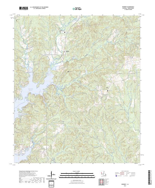
2024 Negreet
Sabine Parish, LA
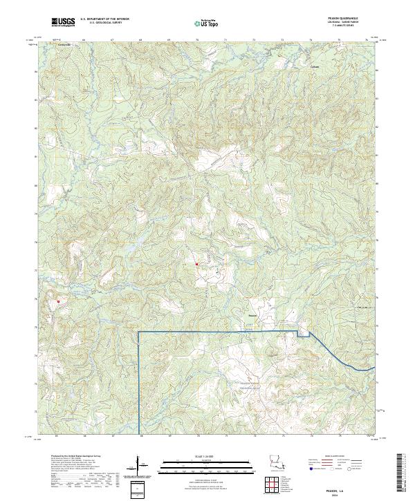
2024 Peason
Sabine Parish, LA
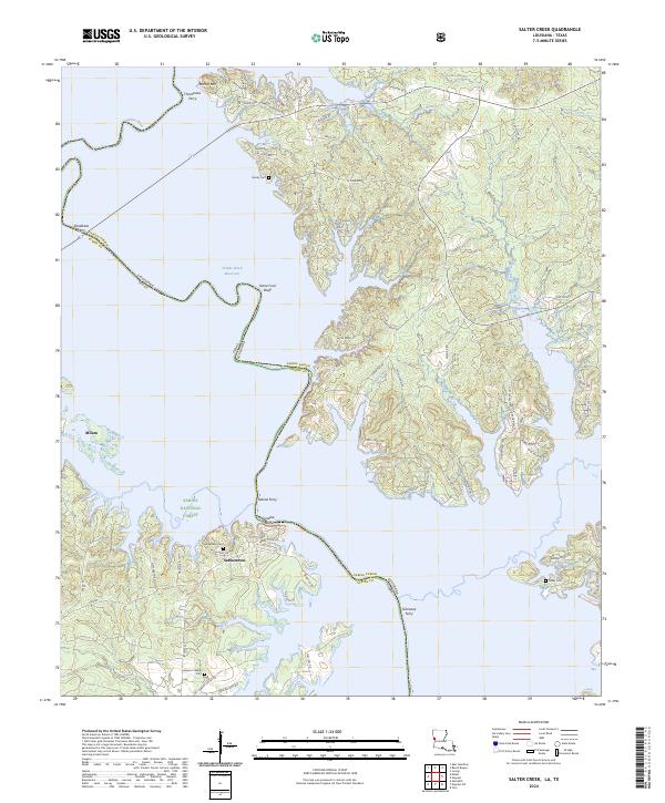
2024 Salter Creek
Sabine Parish, LA
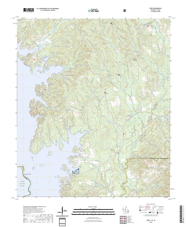
2024 Toro
Sabine Parish, LA
2024 Union Springs
Sabine Parish, LA
2024 Vowells Mill
Sabine Parish, LA