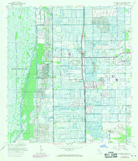
1962 Map of University Park
USGS Topo · Published 1970About this map
Loxahatchee National Wildlife Refuge dominates the western half of this Florida landscape, defined by a massive water management system including the L-40 Levee and Conservation Area No 1. East of the levee, the agricultural and residential grid of Palm Beach County begins to take shape. This 1962 survey, with revisions from 1969, captures a pivotal moment of expansion as Florida's Turnpike Toll Road cuts through the center of the sheet with major points at Interchange 7 and Interchange 6. Pockets of development like Delray Gardens and County Club Acres appear alongside institutional landmarks such as St Andrews Preparatory Sch and Hagen Sch. The map reveals the transitional economy of the era, where a rural Landing Strip and numerous canals sit adjacent to emerging suburbs and the growing University Park settlement.
Find a feature on this map
29 named features on this map. Tap any name to fly to it.
Don’t see what you’re looking for? This feature index may not catch every label — zoom into the map to look around manually.
Map Details
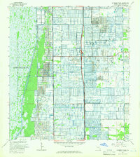
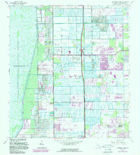
Editions of this 1962 University Park Map
3 editions found
Other maps of this area

1945 · Greenacres City
USGS Topo · 1:24,000

1945 · Lake Worth
USGS Topo · 1:24,000

1946 · West Dixie Bend
USGS Topo · 1:24,000

1946 · Boca Raton
USGS Topo · 1:24,000

1947 · Delmar Farms
USGS Topo · 1:24,000

1949 · Lake Worth
USGS Topo · 1:24,000

1949 · West Dixie Bend
USGS Topo · 1:24,000

1949 · Delmar Farms
USGS Topo · 1:24,000

1950 · Boca Raton
USGS Topo · 1:24,000

1950 · Delray Beach
USGS Topo · 1:24,000