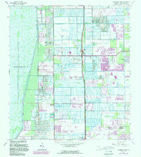
1962 Map of University Park
USGS Topo · Published 1983About this map
The Loxahatchee National Wildlife Refuge dominates the western landscape of this Palm Beach County area, where a system of levees and a Gaging Station monitor the vast Conservation Area No. 1. To the east, the map reveals a rapidly transitioning environment where traditional agriculture gives way to suburban expansion and recreation. The Floridas Toll Road Turnpike serves as a major north-south artery, punctuated by Interchange 32 and Interchange 28.
Find a feature on this map
33 named features on this map. Tap any name to fly to it.
Don’t see what you’re looking for? This feature index may not catch every label — zoom into the map to look around manually.
Map Details
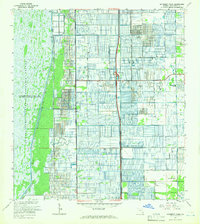
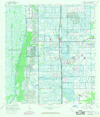
Editions of this 1962 University Park Map
3 editions found
Other maps of this area

1945 · Greenacres City
USGS Topo · 1:24,000

1945 · Lake Worth
USGS Topo · 1:24,000

1946 · West Dixie Bend
USGS Topo · 1:24,000

1946 · Boca Raton
USGS Topo · 1:24,000

1947 · Delmar Farms
USGS Topo · 1:24,000

1949 · Lake Worth
USGS Topo · 1:24,000

1949 · West Dixie Bend
USGS Topo · 1:24,000

1949 · Delmar Farms
USGS Topo · 1:24,000

1950 · Boca Raton
USGS Topo · 1:24,000

1950 · Delray Beach
USGS Topo · 1:24,000