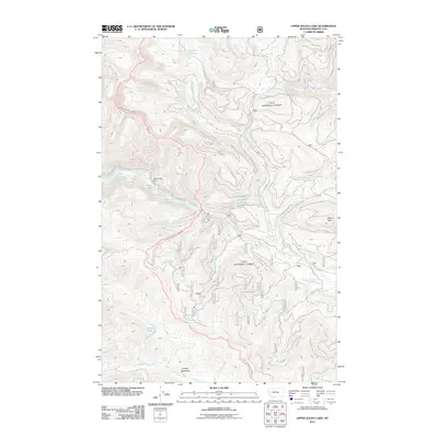
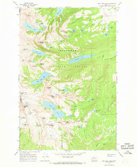
2011 Map of Upper Jocko Lake
USGS Topo · Published 2011About this map
Upper Jocko Lake and the high-elevation waters of Missoula County, Montana, define this landscape within the Flathead Indian Reservation. The map documents a complex drainage network where Jocko Creek and Placid Creek originate, fed by numerous alpine sources including Lake Elsina, Onemile Pond, and the secluded Yellow Lake to the south. Significant for local water management, Black Lake Dam stands at the head of the Jocko drainage, regulating flow from Black Lake. The terrain is marked by prominent summits like Fawn Peak and the open expanse of Liberty Meadows near Blue Jay Spring. A network of Forest Service and logging roads, such as the Fawn Peak-Jocko Rd and Buck Creek Rd, provide the primary access through these steep timberlands, reflecting the region's long-standing reliance on mountain passage and natural resource protection.
Find a feature on this map
24 named features on this map. Tap any name to fly to it.
Don’t see what you’re looking for? This feature index may not catch every label — zoom into the map to look around manually.
Map Details
Editions of this 2011 Upper Jocko Lake Map
This is the sole edition of this map. No revisions or reprints were ever made.
Other maps of this area
1921 · Elbow Lake
USGS Topo · 1:125,000

1955 · Choteau
USGS Topo · 1:250,000

1957 · Choteau
USGS Topo · 1:250,000
1958 · Choteau
USGS Topo · 1:250,000
1962 · Choteau
USGS Topo · 1:250,000
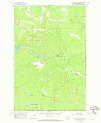
1965 · Upper Jocko Lake
USGS Topo · 1:24,000
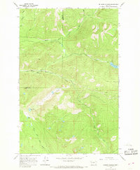
1965 · Belmore Sloughs
USGS Topo · 1:24,000
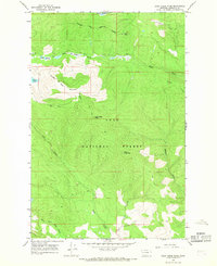
1965 · Gold Creek Peak
USGS Topo · 1:24,000
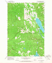
1965 · Seeley Lake West
USGS Topo · 1:24,000
1965 · Gray Wolf Lake
USGS Topo · 1:24,000