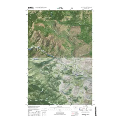
2017 Map of Upper Jocko Lake
USGS Topo · Published 2017About this map
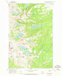
Lolo National Forest encompasses the high country of Missoula County in this modern topographic survey, where a network of forest roads and alpine lakes defines the landscape. The geography is characterized by significant water features, including Upper Jocko Lake and the smaller Yellow Lake, which feed into a complex system of drainages such as Deer Cr, Placid Cr, and Liberty Cr. In the southern portion of the quadrangle, Liberty Meadows and Blue Jay Spring suggest a transition to slightly more open terrain amidst the dense timberland.
Find a feature on this map
24 named features on this map. Tap any name to fly to it.
Don’t see what you’re looking for? This feature index may not catch every label — zoom into the map to look around manually.
Map Details
Editions of this 2017 Upper Jocko Lake Map
This is the sole edition of this map. No revisions or reprints were ever made.
Other maps of this area
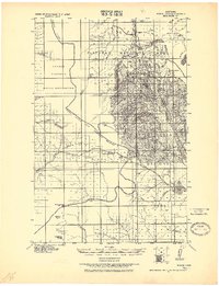
1921 · Elbow Lake
USGS Topo · 1:125,000

1955 · Choteau
USGS Topo · 1:250,000

1957 · Choteau
USGS Topo · 1:250,000
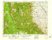
1958 · Choteau
USGS Topo · 1:250,000
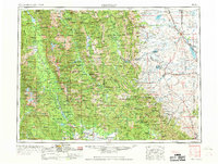
1962 · Choteau
USGS Topo · 1:250,000
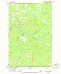
1965 · Upper Jocko Lake
USGS Topo · 1:24,000
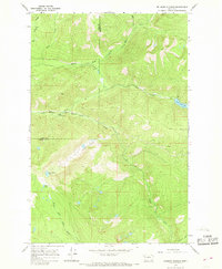
1965 · Belmore Sloughs
USGS Topo · 1:24,000
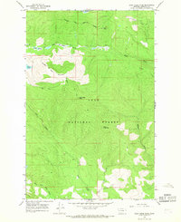
1965 · Gold Creek Peak
USGS Topo · 1:24,000
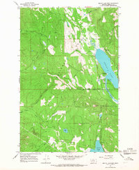
1965 · Seeley Lake West
USGS Topo · 1:24,000
1965 · Gray Wolf Lake
USGS Topo · 1:24,000