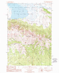
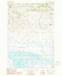
1988 Map of Upper Red Rock Lake
USGS Topo · Published 1988About this map
Upper Red Rock Lake anchors the northern extent of this 1980s provisional study, situated within the protected reaches of the Red Rock Lakes National Wildlife Refuge. The landscape is defined by the high-elevation crest of the Centennial Mountains, where the Continental Divide serves as the political boundary between Beaverhead County, Montana, and Clark County, Idaho. To the south, the terrain descends into the Targhee National Forest, drained by a network of waterways including Sheridan Creek and Taylor Creek.
Find a feature on this map
31 named features on this map. Tap any name to fly to it.
Don’t see what you’re looking for? This feature index may not catch every label — zoom into the map to look around manually.
Map Details
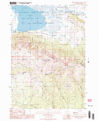
Editions of this 1988 Upper Red Rock Lake Map
2 editions found
Other maps of this area

1950 · Lower Red Rock Lake
USGS Topo · 1:62,500

1950 · Upper Red Rock Lake
USGS Topo · 1:62,500

1955 · Ashton
USGS Topo · 1:250,000

1958 · Ashton
USGS Topo · 1:250,000

1960 · Ashton
USGS Topo · 1:250,000
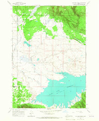
1965 · Icehouse Creek
USGS Topo · 1:24,000

1965 · Sheridan Reservoir
USGS Topo · 1:24,000

1972 · Antelope Valley
USGS Topo · 1:24,000
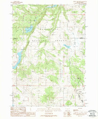
1988 · Hidden Lake Bench
USGS Topo · 1:24,000
1988 · Lower Red Rock Lake
USGS Topo · 1:24,000