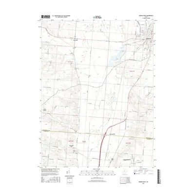
2016 Map of Urbana West
USGS Topo · Published 2016About this map
Urbana and its surrounding agricultural corridor are defined by the glacial drainage of the Mad River, which bisects the terrain alongside notable wetlands like the Cedar Swamp. This 2016 survey reveals a landscape where historical burial grounds, such as Snider Cem and Nettle Creek Cem, are scattered among the section lines of the Public Land Survey System. The western reaches of the city host Urbana Univ, while the corridor south toward Bowlusville and Tremont City follows the Mad River valley.
Find a feature on this map
112 named features on this map. Tap any name to fly to it.
Don’t see what you’re looking for? This feature index may not catch every label — zoom into the map to look around manually.
Map Details
Editions of this 2016 Urbana West Map
This is the sole edition of this map. No revisions or reprints were ever made.
Other maps of this area

1904 · Springfield
USGS Topo · 1:62,500

1906 · Springfield
USGS Topo · 1:62,500

1907 · South Charleston
USGS Topo · 1:62,500

1914 · St. Paris
USGS Topo · 1:62,500

1914 · Mechanicsburg
USGS Topo · 1:62,500

1916 · Mechanicsburg
USGS Topo · 1:62,500

1916 · St. Paris
USGS Topo · 1:62,500

1944 · Mechanicsburg
USGS Topo · 1:62,500

1944 · St. Paris
USGS Topo · 1:62,500

1947 · Columbus
USGS Topo · 1:250,000