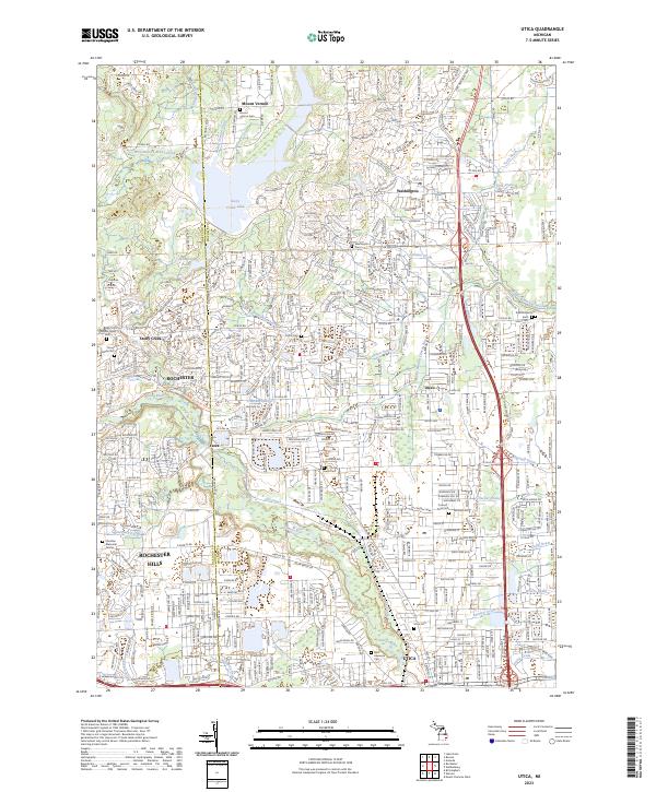
2023 Map of Utica
USGS Topo · Published 2023About this map
The Clinton River and its intricate network of drains and ditches anchor this landscape along the Oakland and Macomb County line. Modern suburban expansion in Rochester Hills and Utica is layered over a much older agricultural and industrial foundation, evidenced by the numerous small family and community burial grounds like Curtis Cem and Prestonville Cem. The Macomb Orchard Rail Trail follows a former corridor of transit, linking the northern settlements of Mount Vernon and Washington with the more densely developed southern areas.
Find a feature on this map
69 named features on this map. Tap any name to fly to it.
Don’t see what you’re looking for? This feature index may not catch every label — zoom into the map to look around manually.
Map Details
Editions of this 2023 Utica Map
This is the sole edition of this map. No revisions or reprints were ever made.
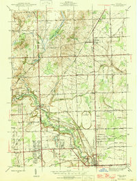
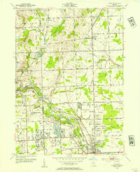
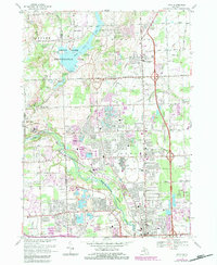
Historical Maps of Yates Through Time
4 maps found
Featured Locations
- Oakland Charter Township, MI
- Rochester Hills, MI
- Shelby Charter Township, MI
- Sterling Heights, MI
- Washington Charter Township, MI